Earthquake 17 km E of Ferry, Alaska
Thu, 15 Jan 2026 22:29:38 GMT
Time1 hour ago
Location
64.0070, -148.7520
Depth
5.0 KM
Event Summary
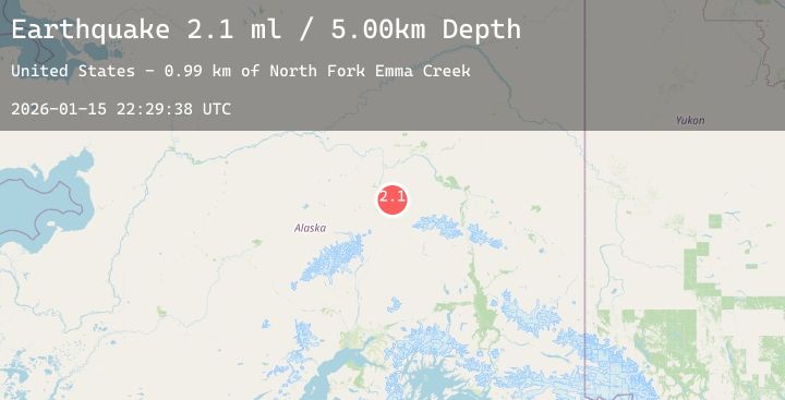
A 2.1 magnitude earthquake struck on 17 km E of Ferry, Alaska, at Thu, 15 Jan 2026 22:29:38 GMT. Depth: 5km. Reviewed by USGS seismologists, this minor quake occurred at a magnitude type of ml.
Magnitude
2.1
ml
Source
USGS
Intensity
-
Agency Reports
1 Sources| Source | Magnitude | Depth | Time |
|---|---|---|---|
| USGSPrimary | 2.1 | 5 km | 1 hour ago |
Earthquake Details
AutomaticEvent IDusgs_ak2026bbkxiw
Tsunami PotentialNo
Magnitude Typeml
Nearest Places
- North Fork Emma Creek1.0 km
- Emma Creek1.4 km
- Marguerite Creek2.6 km
- Bonanza Creek2.6 km
- Winter Creek3.8 km
Comments
Join the discussion about this event.
Latest Earthquakes
0.7Mag
8 km WNW of Cobb, CA
Time1 hour ago
Depth1.86 km
SourceUSGS (Automatic)
2.5Mag
Northern Sumatra, Indonesia
Time1 hour ago
Depth21.04 km
SourceBMKG (Automatic)
2.0Mag
Flores Sea
Time1 hour ago
Depth10.96 km
SourceBMKG (Automatic)
1.9Mag
17 km NW of North Las Vegas, Nevada
Time1 hour ago
Depth15.94 km
SourceUSGS (Automatic)
1.9Mag
24 km ENE of Skwentna, Alaska
Time1 hour ago
Depth63.80 km
SourceUSGS (Automatic)