Earthquake 64 km SSE of King Salmon, Alaska
Fri, 16 Jan 2026 07:34:27 GMT
Time4 hours ago
Location
58.1490, -156.2770
Depth
0.7 KM
Event Summary
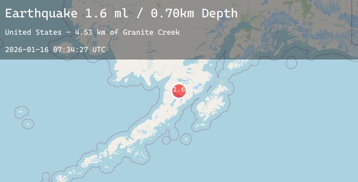
A 1.6 magnitude earthquake struck on 64 km SSE of King Salmon, Alaska, at Fri, 16 Jan 2026 07:34:27 GMT. Depth: 0.7km. Reviewed by USGS seismologists, this minor quake occurred at a magnitude type of ml.
Magnitude
1.6
ml
Source
USGS
Intensity
-
Agency Reports
1 Sources| Source | Magnitude | Depth | Time |
|---|---|---|---|
| USGSPrimary | 1.6 | 1 km | 4 hours ago |
Earthquake Details
ConfirmedEvent IDusgs_ak2026bccyvb
Tsunami PotentialNo
Magnitude Typeml
Nearest Places
- Granite Creek4.5 km
- Gertrude Creek4.6 km
- Whale Mountain12.1 km
- Takayofo Creek15.9 km
- Contact Creek15.9 km
Comments
Join the discussion about this event.
Latest Earthquakes
2.2Mag
58 km NE of Susitna North, Alaska
Time2 minutes ago
Depth34.10 km
SourceUSGS (Automatic)
0.8Mag
5 km WNW of The Geysers, CA
Time4 minutes ago
Depth1.91 km
SourceUSGS (Automatic)
2.5Mag
Flores Sea
Time5 minutes ago
Depth19.85 km
SourceBMKG (Automatic)
3.1Mag
Northern Sumatra, Indonesia
Time13 minutes ago
Depth10.00 km
SourceBMKG (Automatic)
2.8Mag
Java, Indonesia
Time20 minutes ago
Depth18.18 km
SourceBMKG (Automatic)