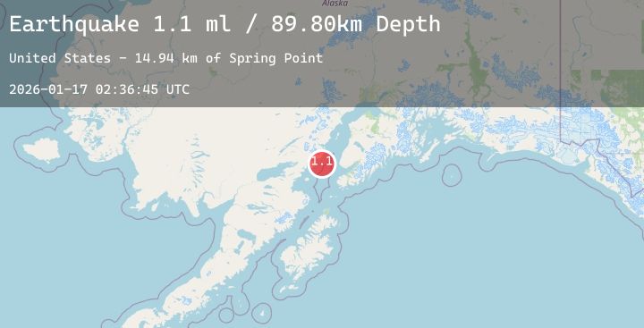
Earthquake 49 km W of Anchor Point, Alaska
Sat, 17 Jan 2026 02:36:45 GMT
Time4 hours ago
Location
59.7530, -152.7190
Depth
89.5 KM
Event Summary
A 2.2 magnitude earthquake struck on 49 km W of Anchor Point, Alaska, at Sat, 17 Jan 2026 02:36:45 GMT. Depth: 89.5km. Reviewed by USGS seismologists, this minor quake occurred at a magnitude type of ml.
Magnitude
2.2
ml
Source
USGS
Intensity
-
Agency Reports
1 Sources| Source | Magnitude | Depth | Time |
|---|---|---|---|
| USGSPrimary | 2.2 | 90 km | 4 hours ago |
Earthquake Details
AutomaticEvent IDusgs_ak2026bdoveg
Tsunami PotentialNo
Magnitude Typeml
Nearest Places
- Chinitna Bay14.8 km
- Spring Point14.9 km
- Shelter Cove15.6 km
- Shelter Creek16.3 km
- Herbs Lagoon16.3 km
Comments
Join the discussion about this event.
Latest Earthquakes
1.7Mag
7 km WSW of Holtville, CA
Time2 hours ago
Depth12.34 km
SourceUSGS (Automatic)
2.3Mag
Sumbawa Region, Indonesia
Time2 hours ago
Depth10.00 km
SourceBMKG (Automatic)
1.4Mag
9 km WNW of The Geysers, CA
Time2 hours ago
Depth2.36 km
SourceUSGS (Automatic)
3.8Mag
ANTOFAGASTA, CHILE
Time2 hours ago
Depth235.80 km
SourceCSN (Automatic)
2.9Mag
ICELAND
Time2 hours ago
Depth1.10 km
SourceIMO (Automatic)