Earthquake 51 km WNW of Nanwalek, Alaska
Sat, 17 Jan 2026 13:29:15 GMT
Time5 hours ago
Location
59.5700, -152.7210
Depth
76.5 KM
Event Summary
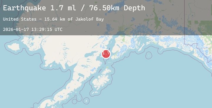
A 1.7 magnitude earthquake struck on 51 km WNW of Nanwalek, Alaska, at Sat, 17 Jan 2026 13:29:15 GMT. Depth: 76.5km. Reviewed by USGS seismologists, this minor quake occurred at a magnitude type of ml.
Magnitude
1.7
ml
Source
USGS
Intensity
-
Agency Reports
1 Sources| Source | Magnitude | Depth | Time |
|---|---|---|---|
| USGSPrimary | 1.7 | 77 km | 5 hours ago |
Earthquake Details
AutomaticEvent IDusgs_ak2026bekllh
Tsunami PotentialNo
Magnitude Typeml
Nearest Places
- Jakolof Bay15.6 km
- Chinitna Point23.1 km
- Bow Creek23.7 km
- Dry Bay26.1 km
- Brown Creek26.2 km
Comments
Join the discussion about this event.
Latest Earthquakes
2.5Mag
Sulawesi, Indonesia
Time12 minutes ago
Depth5.00 km
SourceBMKG (Automatic)
3.7Mag
EASTERN HONSHU, JAPAN
Time15 minutes ago
Depth10.00 km
SourceJMA (Automatic)
1.0Mag
11 km ESE of Alpine, CA
Time15 minutes ago
Depth19.88 km
SourceUSGS (Automatic)
3.2Mag
OFF E. COAST OF N. ISLAND, N.Z.
Time16 minutes ago
Depth54.30 km
SourceGNS (Automatic)
1.7Mag
SPAIN
Time22 minutes ago
Depth8.80 km
SourceIGN (Automatic)