Earthquake 100 km SSE of Sand Point, Alaska
Tue, 20 Jan 2026 11:36:19 GMT
Time1 week ago
Location
54.4750, -160.0540
Depth
23.9 KM
Event Summary
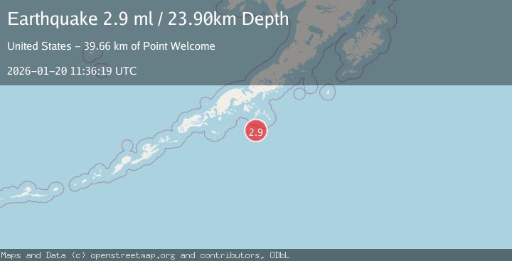
A 2.9 magnitude earthquake struck on 100 km SSE of Sand Point, Alaska, at Tue, 20 Jan 2026 11:36:19 GMT. Depth: 23.9km. Reviewed by USGS seismologists, this minor quake occurred at a magnitude type of ml.
Magnitude
2.9
ml
Source
USGS
Intensity
-
Agency Reports
1 Sources| Source | Magnitude | Depth | Time |
|---|---|---|---|
| USGSPrimary | 2.9 | 24 km | 1 week ago |
Earthquake Details
ConfirmedEvent IDusgs_ak2026bjtwvh
Tsunami PotentialNo
Magnitude Typeml
Nearest Places
- Point Welcome39.6 km
- Bird Island42.9 km
- Point Farewell43.3 km
- Mountain Point44.8 km
- Otter Strait45.9 km
Comments
Join the discussion about this event.
Latest Earthquakes
2.4Mag
Halmahera, Indonesia
Time6 minutes ago
Depth9.64 km
SourceBMKG (Automatic)
1.2Mag
3 km ESE of Lake Henshaw, CA
Time17 minutes ago
Depth11.52 km
SourceUSGS (Automatic)
2.5Mag
Bali Sea
Time27 minutes ago
Depth22.43 km
SourceBMKG (Automatic)
3.6Mag
OFF COAST OF AISEN, CHILE
Time31 minutes ago
Depth10.00 km
SourceCSN (Automatic)
2.3Mag
WESTERN TURKEY
Time34 minutes ago
Depth7.90 km
SourceKOERI (Automatic)
Nearby Earthquakes
3.1Mag
88 km SSE of Sand Point, Alaska
Time1 week ago
Depth39.30 km
SourceUSGS
2.6Mag
98 km SSE of Sand Point, Alaska
Time1 week ago
Depth10.00 km
SourceUSGS
5.5Mag
125 km SSE of Sand Point, Alaska
Time6 days ago
Depth15.10 km
SourceUSGS
4.1Mag
SOUTH OF ALASKA
Time3 days ago
Depth28.80 km
SourceNEIC (Automatic)
3.4Mag
SOUTH OF ALASKA
Time6 days ago
Depth35.00 km
SourceNEIC (Automatic)