Earthquake 17 km ENE of Ferry, Alaska
Wed, 21 Jan 2026 00:14:21 GMT
Time6 days ago
Location
64.0690, -148.7850
Depth
5.0 KM
Event Summary
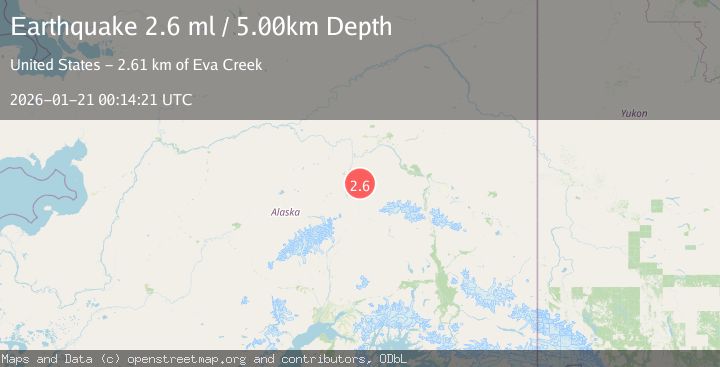
A 2.6 magnitude earthquake struck on 17 km ENE of Ferry, Alaska, at Wed, 21 Jan 2026 00:14:21 GMT. Depth: 5km. Reviewed by USGS seismologists, this minor quake occurred at a magnitude type of ml.
Magnitude
2.6
ml
Source
USGS
Intensity
-
Agency Reports
1 Sources| Source | Magnitude | Depth | Time |
|---|---|---|---|
| USGSPrimary | 2.6 | 5 km | 6 days ago |
Earthquake Details
ConfirmedEvent IDusgs_ak2026bkszyf
Tsunami PotentialNo
Magnitude Typeml
Nearest Places
- Eva Creek2.6 km
- Elsie Creek3.0 km
- Wilson Creek3.1 km
- Liberty Bell Mine4.0 km
- Spruce Creek4.6 km
Comments
Join the discussion about this event.
Latest Earthquakes
1.7Mag
31 km SE of Denali National Park, Alaska
Time13 hours ago
Depth0.60 km
SourceUSGS (Automatic)
2.2Mag
WESTERN TURKEY
Time13 hours ago
Depth14.90 km
SourceKOERI (Automatic)
2.2Mag
13 km NW of Ferry, Alaska
Time13 hours ago
Depth139.50 km
SourceUSGS (Automatic)
1.5Mag
2 km SSE of Home Gardens, CA
Time14 hours ago
Depth1.00 km
SourceUSGS (Automatic)
1.7Mag
18 km WSW of Johannesburg, CA
Time14 hours ago
Depth3.76 km
SourceUSGS (Automatic)
Nearby Earthquakes
2.2Mag
13 km NW of Ferry, Alaska
Time13 hours ago
Depth139.50 km
SourceUSGS (Automatic)
2.2Mag
36 km WSW of Salcha, Alaska
Time3 days ago
Depth5.00 km
SourceUSGS (Automatic)
2.2Mag
8 km N of Four Mile Road, Alaska
Time1 day ago
Depth19.90 km
SourceUSGS (Automatic)
1.6Mag
59 km ESE of Denali Park, Alaska
Time5 days ago
Depth0.60 km
SourceUSGS (Automatic)
1.4Mag
54 km W of Clear, Alaska
Time4 days ago
Depth2.60 km
SourceUSGS (Automatic)