Earthquake 54 km W of Clear, Alaska
Thu, 22 Jan 2026 15:07:37 GMT
Time4 days ago
Location
64.2770, -150.3060
Depth
2.6 KM
Event Summary
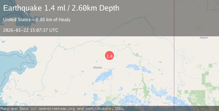
A 1.4 magnitude earthquake struck on 54 km W of Clear, Alaska, at Thu, 22 Jan 2026 15:07:37 GMT. Depth: 2.6km. Reviewed by USGS seismologists, this minor quake occurred at a magnitude type of ml.
Magnitude
1.4
ml
Source
USGS
Intensity
-
Agency Reports
1 Sources| Source | Magnitude | Depth | Time |
|---|---|---|---|
| USGSPrimary | 1.4 | 3 km | 4 days ago |
Earthquake Details
AutomaticEvent IDusgs_ak2026bnsipu
Tsunami PotentialNo
Magnitude Typeml
Nearest Places
- Lynx Creek13.3 km
- Folger Slough14.0 km
- Clear Creek15.9 km
- Totek Hills18.4 km
- Toklat River19.7 km
Comments
Join the discussion about this event.
Latest Earthquakes
2.6Mag
Northern Sumatra, Indonesia
Time7 minutes ago
Depth0.60 km
SourceBMKG (Automatic)
2.1Mag
SOUTHERN TEXAS
Time7 minutes ago
Depth0.00 km
SourceTX (Automatic)
3.8Mag
ATACAMA, CHILE
Time14 minutes ago
Depth98.00 km
SourceCSN (Automatic)
0.9Mag
EASTERN TURKEY
Time15 minutes ago
Depth6.80 km
SourceAFAD (Automatic)
2.4Mag
EASTERN TURKEY
Time17 minutes ago
Depth4.30 km
SourceKOERI (Automatic)
Nearby Earthquakes
1.8Mag
37 km W of Clear, Alaska
Time5 hours ago
Depth1.40 km
SourceUSGS (Automatic)
2.2Mag
13 km NW of Ferry, Alaska
Time13 hours ago
Depth139.50 km
SourceUSGS (Automatic)
1.3Mag
12 km SSE of Nenana, Alaska
Time10 hours ago
Depth1.80 km
SourceUSGS (Automatic)
2.2Mag
8 km N of Four Mile Road, Alaska
Time1 day ago
Depth19.90 km
SourceUSGS (Automatic)
1.6Mag
13 km SSW of Manley Hot Springs, Alaska
Time6 hours ago
Depth5.00 km
SourceUSGS (Automatic)