Earthquake 20 km W of Clam Gulch, Alaska
Thu, 22 Jan 2026 18:22:20 GMT
Time4 days ago
Location
60.2610, -151.7580
Depth
61.8 KM
Event Summary
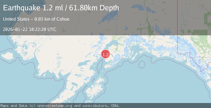
A 1.2 magnitude earthquake struck on 20 km W of Clam Gulch, Alaska, at Thu, 22 Jan 2026 18:22:20 GMT. Depth: 61.8km. Reviewed by USGS seismologists, this minor quake occurred at a magnitude type of ml.
Magnitude
1.2
ml
Source
USGS
Intensity
-
Agency Reports
1 Sources| Source | Magnitude | Depth | Time |
|---|---|---|---|
| USGSPrimary | 1.2 | 62 km | 4 days ago |
Earthquake Details
AutomaticEvent IDusgs_ak2026bnyukj
Tsunami PotentialNo
Magnitude Typeml
Nearest Places
- The Sisters17.1 km
- Kalgin Island State Critical Habitat Area17.8 km
- Corea Creek18.1 km
- Clam Gulch State Critical Habitat Area18.3 km
- Falls Creek18.8 km
Comments
Join the discussion about this event.
Latest Earthquakes
3.7Mag
VALPARAISO, CHILE
Time6 minutes ago
Depth27.60 km
SourceCSN (Automatic)
2.0Mag
CENTRAL TURKEY
Time9 minutes ago
Depth23.50 km
SourceKOERI (Automatic)
3.2Mag
OFFSHORE EL SALVADOR
Time10 minutes ago
Depth28.00 km
SourceINET (Automatic)
3.1Mag
South of Java, Indonesia
Time11 minutes ago
Depth5.01 km
SourceBMKG (Automatic)
2.2Mag
Near North Coast of West Papua
Time13 minutes ago
Depth10.00 km
SourceBMKG (Automatic)
Nearby Earthquakes
1.9Mag
Southern Alaska
Time1 week ago
Depth82.60 km
SourceUSGS (Automatic)
1.2Mag
6 km NE of Ninilchik, Alaska
Time5 days ago
Depth52.80 km
SourceUSGS (Automatic)
2.7Mag
14 km NW of Happy Valley, Alaska
Time17 hours ago
Depth76.80 km
SourceUSGS (Automatic)
2.2Mag
4 km SSE of Kasilof, Alaska
Time4 days ago
Depth54.20 km
SourceUSGS (Automatic)
2.9Mag
11 km E of Ninilchik, Alaska
Time5 days ago
Depth65.30 km
SourceUSGS (Automatic)