Earthquake 72 km WNW of Happy Valley, Alaska
Mon, 26 Jan 2026 14:42:25 GMT
Time21 hours ago
Location
60.1810, -152.9440
Depth
124.0 KM
Event Summary
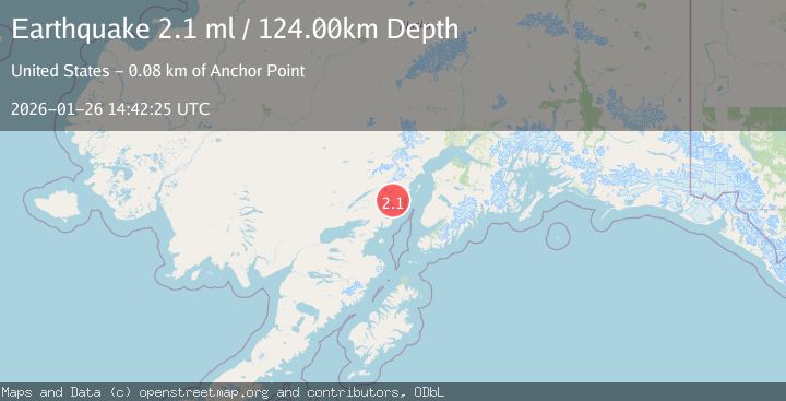
A 2.1 magnitude earthquake struck on 72 km WNW of Happy Valley, Alaska, at Mon, 26 Jan 2026 14:42:25 GMT. Depth: 124km. Reviewed by USGS seismologists, this minor quake occurred at a magnitude type of ml.
Magnitude
2.1
ml
Source
USGS
Intensity
-
Agency Reports
1 Sources| Source | Magnitude | Depth | Time |
|---|---|---|---|
| USGSPrimary | 2.1 | 124 km | 21 hours ago |
Earthquake Details
AutomaticEvent IDusgs_ak2026bvakkk
Tsunami PotentialNo
Magnitude Typeml
Nearest Places
- Open Creek6.3 km
- Tuxedni River8.0 km
- Magnetic Island8.7 km
- Johnson Glacier9.9 km
- Tuxedni Glacier9.9 km
Comments
Join the discussion about this event.
Latest Earthquakes
1.8Mag
16 km SE of Honey Lake, CA
Time21 hours ago
Depth3.42 km
SourceUSGS (Automatic)
3.5Mag
SOUTHERN ALASKA
Time21 hours ago
Depth16.90 km
SourceAK (Automatic)
3.1Mag
JUJUY, ARGENTINA
Time21 hours ago
Depth240.00 km
SourceNSNA (Automatic)
1.2Mag
12 km N of Borrego Springs, CA
Time21 hours ago
Depth14.78 km
SourceUSGS (Automatic)
1.4Mag
40 km NNW of Valdez, Alaska
Time21 hours ago
Depth43.80 km
SourceUSGS (Automatic)
Nearby Earthquakes
2.5Mag
71 km WNW of Ninilchik, Alaska
Time4 days ago
Depth129.30 km
SourceUSGS (Automatic)
1.9Mag
64 km WNW of Anchor Point, Alaska
Time4 days ago
Depth114.20 km
SourceUSGS (Automatic)
2.1Mag
60 km WNW of Ninilchik, Alaska
Time5 days ago
Depth109.40 km
SourceUSGS (Automatic)
2.3Mag
53 km WNW of Ninilchik, Alaska
Time3 days ago
Depth109.70 km
SourceUSGS (Automatic)
2.2Mag
52 km WNW of Anchor Point, Alaska
Time2 days ago
Depth101.30 km
SourceUSGS (Automatic)