Earthquake 64 km WNW of Anchor Point, Alaska
Thu, 22 Jan 2026 21:57:25 GMT
Time4 days ago
Location
60.0050, -152.8880
Depth
114.2 KM
Event Summary
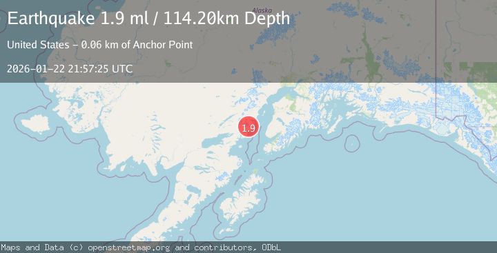
A 1.9 magnitude earthquake struck on 64 km WNW of Anchor Point, Alaska, at Thu, 22 Jan 2026 21:57:25 GMT. Depth: 114.2km. Reviewed by USGS seismologists, this minor quake occurred at a magnitude type of ml.
Magnitude
1.9
ml
Source
USGS
Intensity
-
Agency Reports
1 Sources| Source | Magnitude | Depth | Time |
|---|---|---|---|
| USGSPrimary | 1.9 | 114 km | 4 days ago |
Earthquake Details
AutomaticEvent IDusgs_ak2026bofwxf
Tsunami PotentialNo
Magnitude Typeml
Nearest Places
- Red Glacier2.5 km
- Blue Lake2.8 km
- Squirrel Creek3.4 km
- Boulder Creek6.2 km
- Lenore Hill6.4 km
Comments
Join the discussion about this event.
Latest Earthquakes
2.4Mag
NEVADA
Time8 minutes ago
Depth16.00 km
SourceNN (Automatic)
3.1Mag
Northern Molucca Sea
Time9 minutes ago
Depth31.63 km
SourceBMKG (Automatic)
2.1Mag
SOUTHERN ITALY
Time14 minutes ago
Depth10.00 km
SourceINGV (Automatic)
2.6Mag
Northern Sumatra, Indonesia
Time14 minutes ago
Depth0.60 km
SourceBMKG (Automatic)
2.1Mag
SOUTHERN TEXAS
Time15 minutes ago
Depth0.00 km
SourceTX (Automatic)
Nearby Earthquakes
3.0Mag
64 km WNW of Happy Valley, Alaska
Time9 hours ago
Depth121.40 km
SourceUSGS (Automatic)
2.2Mag
52 km WNW of Anchor Point, Alaska
Time2 days ago
Depth101.30 km
SourceUSGS (Automatic)
2.1Mag
72 km WNW of Happy Valley, Alaska
Time20 hours ago
Depth124.00 km
SourceUSGS (Automatic)
2.5Mag
71 km WNW of Ninilchik, Alaska
Time4 days ago
Depth129.30 km
SourceUSGS (Automatic)
2.2Mag
61 km W of Anchor Point, Alaska
Time22 hours ago
Depth97.80 km
SourceUSGS (Automatic)