Earthquake 58 km SE of Cantwell, Alaska
Mon, 02 Feb 2026 00:21:48 GMT
Time23 hours ago
Location
62.9860, -148.2190
Depth
61.1 KM
Event Summary
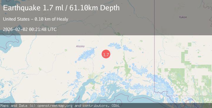
A 1.7 magnitude earthquake struck on 58 km SE of Cantwell, Alaska, at Mon, 02 Feb 2026 00:21:48 GMT. Depth: 61.1km. Reviewed by USGS seismologists, this minor quake occurred at a magnitude type of ml.
Magnitude
1.7
ml
Source
USGS
Intensity
-
Agency Reports
1 Sources| Source | Magnitude | Depth | Time |
|---|---|---|---|
| USGSPrimary | 1.7 | 61 km | 23 hours ago |
Earthquake Details
AutomaticEvent IDusgs_ak2026cgtyyv
Tsunami PotentialNo
Magnitude Typeml
Nearest Places
- Lowland Kacaagh Lake0.7 km
- Upland Kacaagh Lake3.0 km
- Kacaagh Mountain8.6 km
- Delusion Creek14.0 km
- Tsusena Butte17.0 km
Comments
Join the discussion about this event.
Latest Earthquakes
1.5Mag
19 km NNE of Indio, CA
Time3 minutes ago
Depth3.99 km
SourceUSGS (Automatic)
2.3Mag
Sumbawa Region, Indonesia
Time9 minutes ago
Depth13.16 km
SourceBMKG (Automatic)
2.2Mag
7 km S of Badger, Alaska
Time22 minutes ago
Depth19.20 km
SourceUSGS (Automatic)
1.9Mag
87 km N of Yakutat, Alaska
Time34 minutes ago
Depth5.00 km
SourceUSGS (Automatic)
1.8Mag
44 km NW of Tatitlek, Alaska
Time38 minutes ago
Depth17.80 km
SourceUSGS (Automatic)
Nearby Earthquakes
2.0Mag
45 km SSE of Cantwell, Alaska
Time4 days ago
Depth62.40 km
SourceUSGS
1.8Mag
68 km ESE of Cantwell, Alaska
Time3 hours ago
Depth2.20 km
SourceUSGS (Automatic)
2.7Mag
68 km ESE of Cantwell, Alaska
Time1 day ago
Depth9.70 km
SourceUSGS (Automatic)
3.2Mag
32 km S of Cantwell, Alaska
Time1 week ago
Depth66.90 km
SourceUSGS (Automatic)
1.7Mag
68 km ESE of Cantwell, Alaska
Time5 days ago
Depth1.20 km
SourceUSGS (Automatic)