Earthquake 87 km N of Yakutat, Alaska
Mon, 02 Feb 2026 23:05:20 GMT
Time1 hour ago
Location
60.3300, -139.8200
Depth
5.0 KM
Event Summary
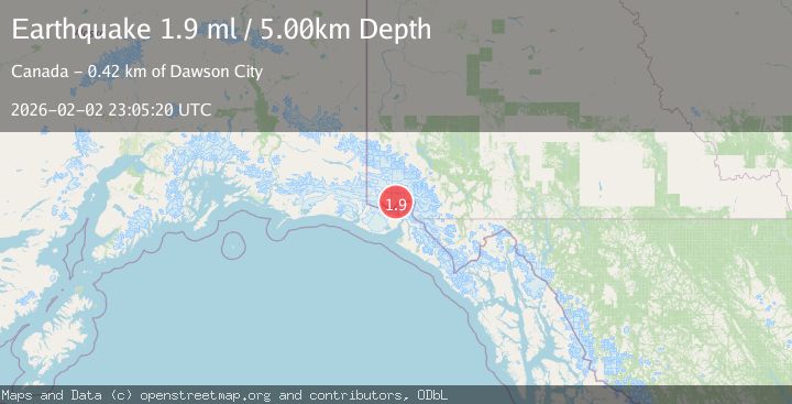
A 1.9 magnitude earthquake struck on 87 km N of Yakutat, Alaska, at Mon, 02 Feb 2026 23:05:20 GMT. Depth: 5km. Reviewed by USGS seismologists, this minor quake occurred at a magnitude type of ml.
Magnitude
1.9
ml
Source
USGS
Intensity
-
Agency Reports
1 Sources| Source | Magnitude | Depth | Time |
|---|---|---|---|
| USGSPrimary | 1.9 | 5 km | 1 hour ago |
Earthquake Details
AutomaticEvent IDusgs_ak2026cinead
Tsunami PotentialNo
Magnitude Typeml
Nearest Places
- Mount Vancouver7.4 km
- Saint Elias Mountains15.0 km
- Mount Cook18.7 km
- Mount Cook18.8 km
- Valerie Glacier20.0 km
Comments
Join the discussion about this event.
Latest Earthquakes
1.8Mag
4 km SE of San Ramon, CA
Time49 minutes ago
Depth6.96 km
SourceUSGS (Automatic)
3.3Mag
Java, Indonesia
Time51 minutes ago
Depth90.20 km
SourceBMKG (Automatic)
4.1Mag
TARAPACA, CHILE
Time52 minutes ago
Depth54.00 km
SourceCSLC (Automatic)
1.8Mag
55 km E of Nabesna, Alaska
Time52 minutes ago
Depth5.00 km
SourceUSGS (Automatic)
3.1Mag
Northern Molucca Sea
Time1 hour ago
Depth10.00 km
SourceBMKG (Automatic)
Nearby Earthquakes
4.1Mag
SOUTHERN YUKON TERRITORY, CANADA
Time4 days ago
Depth0.50 km
SourceAK (Automatic)
0.9Mag
88 km NNW of Yakutat, Alaska
Time1 week ago
Depth36.90 km
SourceUSGS (Automatic)
3.8Mag
SOUTHERN YUKON TERRITORY, CANADA
Time2 days ago
Depth5.20 km
SourceAK (Automatic)
1.8Mag
107 km N of Yakutat, Alaska
Time6 days ago
Depth10.50 km
SourceUSGS
3.5Mag
SOUTHERN YUKON TERRITORY, CANADA
Time4 days ago
Depth5.00 km
SourceNEIC (Automatic)