Earthquake 37 km NNW of Petersville, Alaska
Wed, 04 Feb 2026 12:59:19 GMT
Time1 day ago
Location
62.8210, -150.9520
Depth
91.4 KM
Event Summary
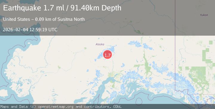
A 1.7 magnitude earthquake struck on 37 km NNW of Petersville, Alaska, at Wed, 04 Feb 2026 12:59:19 GMT. Depth: 91.4km. Reviewed by USGS seismologists, this minor quake occurred at a magnitude type of ml.
Magnitude
1.7
ml
Source
USGS
Intensity
-
Agency Reports
1 Sources| Source | Magnitude | Depth | Time |
|---|---|---|---|
| USGSPrimary | 1.7 | 91 km | 1 day ago |
Earthquake Details
AutomaticEvent IDusgs_ak2026clknmq
Tsunami PotentialNo
Magnitude Typeml
Nearest Places
- Tokositna Glacier7.5 km
- Mount Goldie8.2 km
- Kanikula Glacier8.4 km
- One Shot Gap8.8 km
- Avalanche Spire10.2 km
Comments
Join the discussion about this event.
Latest Earthquakes
1.5Mag
14 km W of Searles Valley, CA
Time7 minutes ago
Depth6.36 km
SourceUSGS (Automatic)
3.8Mag
NEAR COAST OF NORTHERN PERU
Time11 minutes ago
Depth47.00 km
SourceLIM (Automatic)
2.5Mag
26 km ENE of Pleasant Valley, Alaska
Time12 minutes ago
Depth8.50 km
SourceUSGS (Automatic)
2.3Mag
NORTHERN CALIFORNIA
Time18 minutes ago
Depth28.50 km
SourceNC (Automatic)
2.0Mag
ISLAND OF HAWAII, HAWAII
Time20 minutes ago
Depth42.50 km
SourceHV (Automatic)
Nearby Earthquakes
1.4Mag
54 km N of Petersville, Alaska
Time4 days ago
Depth124.00 km
SourceUSGS (Automatic)
2.4Mag
CENTRAL ALASKA
Time2 weeks ago
Depth119.20 km
SourceNEIC (Automatic)
1.9Mag
47 km NNE of Petersville, Alaska
Time2 hours ago
Depth88.00 km
SourceUSGS (Automatic)
2.0Mag
64 km N of Petersville, Alaska
Time4 days ago
Depth113.50 km
SourceUSGS (Automatic)
2.8Mag
63 km SE of Denali National Park, Alaska
Time1 week ago
Depth123.60 km
SourceUSGS (Automatic)