Earthquake 64 km N of Petersville, Alaska
Sun, 01 Feb 2026 03:29:29 GMT
Time4 days ago
Location
63.0760, -150.8880
Depth
113.5 KM
Event Summary
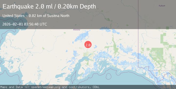
A 2.0 magnitude earthquake struck on 64 km N of Petersville, Alaska, at Sun, 01 Feb 2026 03:29:29 GMT. Depth: 113.5km. Reviewed by USGS seismologists, this minor quake occurred at a magnitude type of ml.
Magnitude
2.0
ml
Source
USGS
Intensity
-
Agency Reports
1 Sources| Source | Magnitude | Depth | Time |
|---|---|---|---|
| USGSPrimary | 2.0 | 0 km | 4 days ago |
Earthquake Details
AutomaticEvent IDusgs_ak2026cfeluq
Tsunami PotentialNo
Magnitude Typeml
Nearest Places
- East Buttress1.9 km
- Traleika Icefall2.0 km
- Thayer Basin2.8 km
- Browne Tower3.6 km
- Parker Pass3.7 km
Comments
Join the discussion about this event.
Latest Earthquakes
1.5Mag
14 km W of Searles Valley, CA
Time5 minutes ago
Depth6.36 km
SourceUSGS (Automatic)
2.5Mag
26 km ENE of Pleasant Valley, Alaska
Time10 minutes ago
Depth8.50 km
SourceUSGS (Automatic)
2.3Mag
NORTHERN CALIFORNIA
Time15 minutes ago
Depth28.50 km
SourceNC (Automatic)
2.0Mag
ISLAND OF HAWAII, HAWAII
Time18 minutes ago
Depth42.50 km
SourceHV (Automatic)
3.1Mag
SAN JUAN, ARGENTINA
Time29 minutes ago
Depth10.00 km
SourceNSNA (Automatic)
Nearby Earthquakes
2.8Mag
63 km SE of Denali National Park, Alaska
Time1 week ago
Depth123.60 km
SourceUSGS (Automatic)
2.3Mag
63 km SE of Denali National Park, Alaska
Time1 week ago
Depth127.50 km
SourceUSGS (Automatic)
1.4Mag
54 km N of Petersville, Alaska
Time4 days ago
Depth124.00 km
SourceUSGS (Automatic)
1.4Mag
69 km SE of Denali National Park, Alaska
Time1 week ago
Depth119.50 km
SourceUSGS (Automatic)
1.8Mag
64 km SE of Denali National Park, Alaska
Time1 week ago
Depth133.10 km
SourceUSGS