Earthquake 61 km E of Egegik, Alaska
Thu, 05 Feb 2026 22:06:27 GMT
Time1 hour ago
Location
58.1510, -156.3430
Depth
10.7 KM
Event Summary
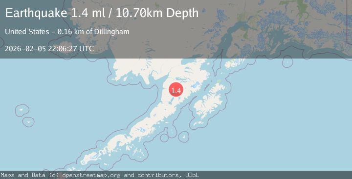
A 1.4 magnitude earthquake struck on 61 km E of Egegik, Alaska, at Thu, 05 Feb 2026 22:06:27 GMT. Depth: 10.7km. Reviewed by USGS seismologists, this minor quake occurred at a magnitude type of ml.
Magnitude
1.4
ml
Source
USGS
Intensity
-
Agency Reports
1 Sources| Source | Magnitude | Depth | Time |
|---|---|---|---|
| USGSPrimary | 1.4 | 11 km | 1 hour ago |
Earthquake Details
ConfirmedEvent IDusgs_ak2026cnyizs
Tsunami PotentialNo
Magnitude Typeml
Nearest Places
- Granite Creek6.1 km
- Gertrude Creek8.1 km
- Whale Mountain11.8 km
- Takayofo Creek19.7 km
- Contact Creek19.8 km
Comments
Join the discussion about this event.
Latest Earthquakes
2.8Mag
TARAPACA, CHILE
Time13 minutes ago
Depth56.60 km
SourceCSN (Automatic)
1.6Mag
12 km SSW of Susitna, Alaska
Time17 minutes ago
Depth47.90 km
SourceUSGS
1.8Mag
17 km NW of Pinnacles, CA
Time28 minutes ago
Depth6.21 km
SourceUSGS (Automatic)
2.4Mag
SAN FRANCISCO BAY AREA, CALIF.
Time28 minutes ago
Depth5.80 km
SourceNC (Automatic)
3.0Mag
CATAMARCA, ARGENTINA
Time42 minutes ago
Depth141.00 km
SourceNSNA (Automatic)
Nearby Earthquakes
1.9Mag
58 km SSE of King Salmon, Alaska
Time10 hours ago
Depth5.00 km
SourceUSGS (Automatic)
1.1Mag
59 km SSE of King Salmon, Alaska
Time3 hours ago
Depth7.30 km
SourceUSGS (Automatic)
2.5Mag
58 km ESE of King Salmon, Alaska
Time22 hours ago
Depth155.30 km
SourceUSGS (Automatic)
1.1Mag
80 km WNW of Karluk, Alaska
Time4 days ago
Depth6.30 km
SourceUSGS (Automatic)
1.3Mag
82 km NW of Karluk, Alaska
Time1 week ago
Depth5.00 km
SourceUSGS (Automatic)