Earthquake 77 km S of Kokhanok, Alaska
Fri, 06 Feb 2026 15:54:15 GMT
Time1 hour ago
Location
58.7490, -154.7120
Depth
131.9 KM
Event Summary
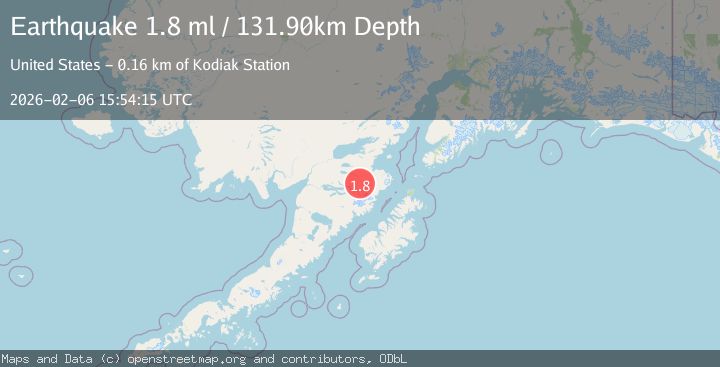
A 1.8 magnitude earthquake struck on 77 km S of Kokhanok, Alaska, at Fri, 06 Feb 2026 15:54:15 GMT. Depth: 131.9km. Reviewed by USGS seismologists, this minor quake occurred at a magnitude type of ml.
Magnitude
1.8
ml
Source
USGS
Intensity
-
Agency Reports
1 Sources| Source | Magnitude | Depth | Time |
|---|---|---|---|
| USGSPrimary | 1.8 | 132 km | 1 hour ago |
Earthquake Details
AutomaticEvent IDusgs_ak2026cphtzz
Tsunami PotentialNo
Magnitude Typeml
Nearest Places
- Gorge Creek15.1 km
- Walatka Mountains19.1 km
- Murray Lake20.4 km
- Rainbow River20.9 km
- Wolverine Falls22.4 km
Comments
Join the discussion about this event.
Latest Earthquakes
1.4Mag
3 km N of Dublin, CA
Time7 minutes ago
Depth8.73 km
SourceUSGS (Automatic)
4.1Mag
NEAR EAST COAST OF HONSHU, JAPAN
Time15 minutes ago
Depth10.00 km
SourceJMA (Automatic)
2.7Mag
Java, Indonesia
Time15 minutes ago
Depth28.82 km
SourceBMKG (Automatic)
3.1Mag
KENAI PENINSULA, ALASKA
Time16 minutes ago
Depth71.10 km
SourceAK (Automatic)
2.5Mag
43 km NNE of Ouzinkie, Alaska
Time29 minutes ago
Depth3.80 km
SourceUSGS (Automatic)
Nearby Earthquakes
2.8Mag
64 km SSE of Kokhanok, Alaska
Time2 weeks ago
Depth129.50 km
SourceUSGS (Automatic)
1.9Mag
97 km S of Kokhanok, Alaska
Time1 week ago
Depth5.00 km
SourceUSGS (Automatic)
1.1Mag
102 km S of Kokhanok, Alaska
Time2 weeks ago
Depth65.40 km
SourceUSGS (Automatic)
1.7Mag
65 km SSE of Kokhanok, Alaska
Time2 weeks ago
Depth124.60 km
SourceUSGS (Automatic)
1.5Mag
100 km N of Karluk, Alaska
Time1 week ago
Depth5.00 km
SourceUSGS (Automatic)