Earthquake 48 km WNW of Anchor Point, Alaska
Fri, 06 Feb 2026 23:04:31 GMT
Time1 hour ago
Location
59.9460, -152.6210
Depth
100.3 KM
Event Summary
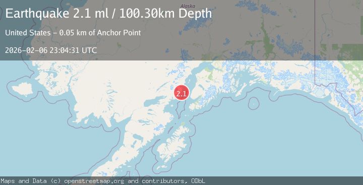
A 2.1 magnitude earthquake struck on 48 km WNW of Anchor Point, Alaska, at Fri, 06 Feb 2026 23:04:31 GMT. Depth: 100.3km. Reviewed by USGS seismologists, this minor quake occurred at a magnitude type of ml.
Magnitude
2.1
ml
Source
USGS
Intensity
-
Agency Reports
1 Sources| Source | Magnitude | Depth | Time |
|---|---|---|---|
| USGSPrimary | 2.1 | 100 km | 1 hour ago |
Earthquake Details
AutomaticEvent IDusgs_ak2026cpwatt
Tsunami PotentialNo
Magnitude Typeml
Nearest Places
- Silver Salmon Lakes6.5 km
- Red River8.0 km
- Johnson River8.0 km
- August Hill8.4 km
- Saddle Mountain8.9 km
Comments
Join the discussion about this event.
Latest Earthquakes
3.3Mag
MOROCCO
Time10 minutes ago
Depth10.00 km
SourceIGN (Automatic)
2.6Mag
47 km NW of San Antonio, Puerto Rico
Time26 minutes ago
Depth21.25 km
SourceUSGS
2.7Mag
OFF COAST OF COSTA RICA
Time29 minutes ago
Depth14.00 km
SourceUNA (Automatic)
1.5Mag
TURKEY-SYRIA BORDER REGION
Time32 minutes ago
Depth7.00 km
SourceEMSC (Automatic)
3.0Mag
STRAIT OF GIBRALTAR
Time36 minutes ago
Depth13.40 km
SourceIGN (Automatic)
Nearby Earthquakes
2.2Mag
52 km WNW of Anchor Point, Alaska
Time1 week ago
Depth101.30 km
SourceUSGS (Automatic)
2.8Mag
53 km W of Happy Valley, Alaska
Time3 days ago
Depth99.70 km
SourceUSGS (Automatic)
2.3Mag
50 km W of Happy Valley, Alaska
Time1 week ago
Depth92.00 km
SourceUSGS (Automatic)
1.6Mag
55 km WNW of Happy Valley, Alaska
Time1 week ago
Depth97.60 km
SourceUSGS (Automatic)
1.9Mag
64 km WNW of Anchor Point, Alaska
Time2 weeks ago
Depth114.20 km
SourceUSGS (Automatic)