Earthquake 57 km SSE of King Salmon, Alaska
Sat, 07 Feb 2026 01:35:07 GMT
Time1 hour ago
Location
58.1900, -156.3850
Depth
10.4 KM
Event Summary
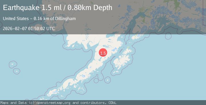
A 1.5 magnitude earthquake struck on 57 km SSE of King Salmon, Alaska, at Sat, 07 Feb 2026 01:35:07 GMT. Depth: 10.4km. Reviewed by USGS seismologists, this minor quake occurred at a magnitude type of ml.
Magnitude
1.5
ml
Source
USGS
Intensity
-
Agency Reports
1 Sources| Source | Magnitude | Depth | Time |
|---|---|---|---|
| USGSPrimary | 1.5 | 1 km | 1 hour ago |
Earthquake Details
AutomaticEvent IDusgs_ak2026cqbaoa
Tsunami PotentialNo
Magnitude Typeml
Nearest Places
- Granite Creek6.8 km
- Gertrude Creek10.4 km
- Whale Mountain16.4 km
- Takayofo Creek22.4 km
- Contact Creek22.4 km
Comments
Join the discussion about this event.
Latest Earthquakes
1.8Mag
4 km SE of Brawley, CA
Time3 minutes ago
Depth9.49 km
SourceUSGS (Automatic)
3.1Mag
SAN JUAN, ARGENTINA
Time12 minutes ago
Depth95.00 km
SourceNSNA (Automatic)
2.6Mag
WESTERN XIZANG
Time13 minutes ago
Depth106.20 km
SourceNDI (Automatic)
2.4Mag
Sumbawa Region, Indonesia
Time17 minutes ago
Depth31.37 km
SourceBMKG (Automatic)
2.2Mag
Sumbawa Region, Indonesia
Time19 minutes ago
Depth23.65 km
SourceBMKG (Automatic)
Nearby Earthquakes
1.9Mag
58 km SSE of King Salmon, Alaska
Time1 day ago
Depth5.00 km
SourceUSGS (Automatic)
1.4Mag
57 km E of Egegik, Alaska
Time14 hours ago
Depth17.70 km
SourceUSGS (Automatic)
1.4Mag
56 km E of Egegik, Alaska
Time16 hours ago
Depth12.20 km
SourceUSGS (Automatic)
1.4Mag
61 km E of Egegik, Alaska
Time1 day ago
Depth10.70 km
SourceUSGS
1.1Mag
59 km SSE of King Salmon, Alaska
Time1 day ago
Depth7.30 km
SourceUSGS (Automatic)