Earthquake 17 km E of Rampart, Alaska
Sat, 07 Feb 2026 08:14:29 GMT
Time1 hour ago
Location
65.5180, -149.7850
Depth
11.4 KM
Event Summary
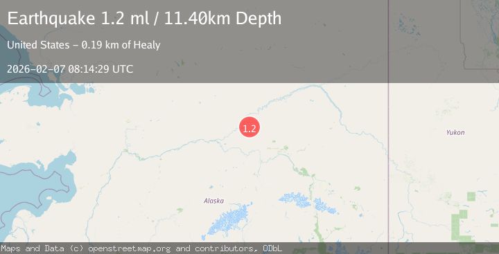
A 1.2 magnitude earthquake struck on 17 km E of Rampart, Alaska, at Sat, 07 Feb 2026 08:14:29 GMT. Depth: 11.4km. Reviewed by USGS seismologists, this minor quake occurred at a magnitude type of ml.
Magnitude
1.2
ml
Source
USGS
Intensity
-
Agency Reports
1 Sources| Source | Magnitude | Depth | Time |
|---|---|---|---|
| USGSPrimary | 1.2 | 11 km | 1 hour ago |
Earthquake Details
AutomaticEvent IDusgs_ak2026cqogrw
Tsunami PotentialNo
Magnitude Typeml
Nearest Places
- Ninety-two Hunter Creek7.4 km
- Forty-seven Gulch7.4 km
- Willow Creek7.5 km
- Grouse Creek8.1 km
- Union Creek8.5 km
Comments
Join the discussion about this event.
Latest Earthquakes
1.5Mag
22 km ENE of San Lucas, CA
Time4 minutes ago
Depth5.20 km
SourceUSGS (Automatic)
2.5Mag
72 km SE of Kokhanok, Alaska
Time7 minutes ago
Depth113.70 km
SourceUSGS (Automatic)
2.1Mag
30 km SW of Karluk, Alaska
Time12 minutes ago
Depth26.80 km
SourceUSGS (Automatic)
1.5Mag
20 km NW of Susitna, Alaska
Time16 minutes ago
Depth6.70 km
SourceUSGS (Automatic)
2.3Mag
23 km ESE of Naalehu, Hawaii
Time16 minutes ago
Depth15.45 km
SourceUSGS (Automatic)
Nearby Earthquakes
2.0Mag
22 km W of Minto, Alaska
Time1 day ago
Depth16.70 km
SourceUSGS (Automatic)
1.2Mag
24 km NE of Minto, Alaska
Time4 days ago
Depth6.60 km
SourceUSGS (Automatic)
1.0Mag
28 km SSW of Livengood, Alaska
Time1 week ago
Depth5.00 km
SourceUSGS (Automatic)
1.4Mag
19 km ENE of Minto, Alaska
Time4 days ago
Depth11.00 km
SourceUSGS (Automatic)
1.8Mag
27 km NNW of Manley Hot Springs, Alaska
Time1 week ago
Depth5.50 km
SourceUSGS (Automatic)