Earthquake 22 km W of Minto, Alaska
Fri, 06 Feb 2026 08:24:21 GMT
Time1 hour ago
Location
65.1250, -149.8280
Depth
16.7 KM
Event Summary
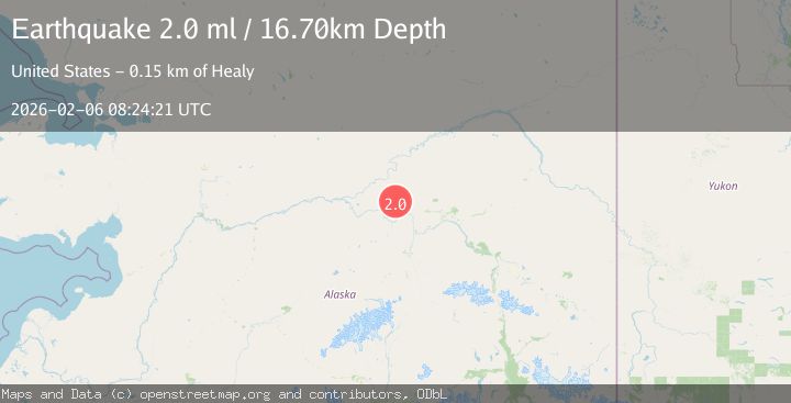
A 2.0 magnitude earthquake struck on 22 km W of Minto, Alaska, at Fri, 06 Feb 2026 08:24:21 GMT. Depth: 16.7km. Reviewed by USGS seismologists, this minor quake occurred at a magnitude type of ml.
Magnitude
2.0
ml
Source
USGS
Intensity
-
Agency Reports
1 Sources| Source | Magnitude | Depth | Time |
|---|---|---|---|
| USGSPrimary | 2.0 | 17 km | 1 hour ago |
Earthquake Details
AutomaticEvent IDusgs_ak2026coswht
Tsunami PotentialNo
Magnitude Typeml
Nearest Places
- Ten Pup10.2 km
- Applegate Creek10.8 km
- Goff Creek11.3 km
- Horse Creek11.8 km
- Doyon Alaska Native Regional Corporation12.0 km
Comments
Join the discussion about this event.
Latest Earthquakes
3.3Mag
OFF W. COAST OF S. ISLAND, N.Z.
Time5 minutes ago
Depth5.00 km
SourceGNS (Automatic)
1.1Mag
11 km N of Piru, CA
Time8 minutes ago
Depth8.99 km
SourceUSGS (Automatic)
1.3Mag
WESTERN TURKEY
Time16 minutes ago
Depth6.20 km
SourceAFAD (Automatic)
1.1Mag
WESTERN TURKEY
Time19 minutes ago
Depth7.00 km
SourceAFAD (Automatic)
0.8Mag
7 km W of Cobb, CA
Time22 minutes ago
Depth1.61 km
SourceUSGS (Automatic)
Nearby Earthquakes
1.4Mag
19 km ENE of Minto, Alaska
Time3 days ago
Depth11.00 km
SourceUSGS (Automatic)
1.2Mag
24 km NE of Minto, Alaska
Time3 days ago
Depth6.60 km
SourceUSGS (Automatic)
1.6Mag
29 km SE of Minto, Alaska
Time1 week ago
Depth23.20 km
SourceUSGS (Automatic)
2.6Mag
19 km S of Manley Hot Springs, Alaska
Time3 days ago
Depth4.00 km
SourceUSGS (Automatic)
0.7Mag
28 km N of Four Mile Road, Alaska
Time5 days ago
Depth8.40 km
SourceUSGS (Automatic)