Earthquake 39 km SSW of Skwentna, Alaska
Fri, 06 Feb 2026 17:10:46 GMT
Time1 hour ago
Location
61.6930, -151.8140
Depth
93.0 KM
Event Summary
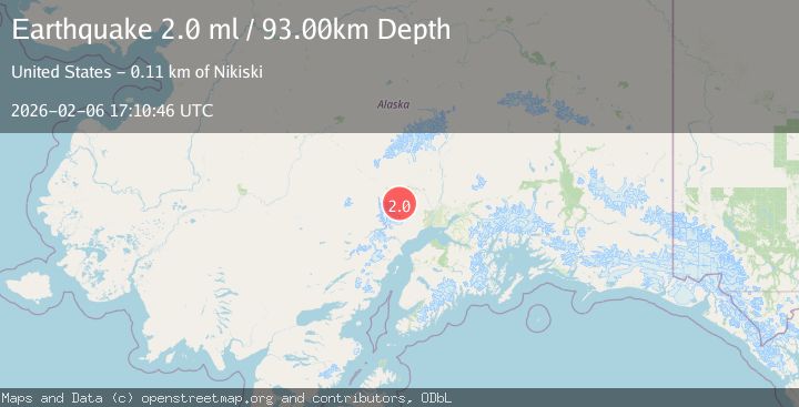
A 2.0 magnitude earthquake struck on 39 km SSW of Skwentna, Alaska, at Fri, 06 Feb 2026 17:10:46 GMT. Depth: 93km. Reviewed by USGS seismologists, this minor quake occurred at a magnitude type of ml.
Magnitude
2.0
ml
Source
USGS
Intensity
-
Agency Reports
1 Sources| Source | Magnitude | Depth | Time |
|---|---|---|---|
| USGSPrimary | 2.0 | 93 km | 1 hour ago |
Earthquake Details
AutomaticEvent IDusgs_ak2026cpkhya
Tsunami PotentialNo
Magnitude Typeml
Nearest Places
- Hayes River Pass6.5 km
- Entrance Point6.7 km
- Alder Creek10.8 km
- Aho Lake12.3 km
- Trimble Glacier13.9 km
Comments
Join the discussion about this event.
Latest Earthquakes
2.6Mag
Flores Region, Indonesia
Time7 minutes ago
Depth10.23 km
SourceBMKG (Automatic)
2.0Mag
25 km S of Malibu, CA
Time9 minutes ago
Depth5.85 km
SourceUSGS (Automatic)
1.5Mag
7 km WNW of Cobb, CA
Time12 minutes ago
Depth2.20 km
SourceUSGS (Automatic)
2.7Mag
Northern Molucca Sea
Time12 minutes ago
Depth71.71 km
SourceBMKG (Automatic)
2.1Mag
Timor Region
Time13 minutes ago
Depth75.54 km
SourceBMKG (Automatic)
Nearby Earthquakes
1.6Mag
46 km SSW of Skwentna, Alaska
Time1 day ago
Depth77.60 km
SourceUSGS (Automatic)
1.9Mag
50 km SSW of Skwentna, Alaska
Time1 day ago
Depth110.00 km
SourceUSGS (Automatic)
4.4Mag
45 km NNW of Beluga, Alaska
Time2 days ago
Depth10.00 km
SourceUSGS
2.7Mag
27 km SSE of Skwentna, Alaska
Time1 week ago
Depth77.80 km
SourceUSGS (Automatic)
2.3Mag
34 km NW of Beluga, Alaska
Time1 week ago
Depth83.70 km
SourceUSGS (Automatic)