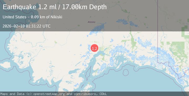
Earthquake 44 km NNW of Beluga, Alaska
Tue, 10 Feb 2026 01:31:22 GMT
Time4 hours ago
Location
61.4810, -151.5360
Depth
17.0 KM
Event Summary
A 1.2 magnitude earthquake struck on 44 km NNW of Beluga, Alaska, at Tue, 10 Feb 2026 01:31:22 GMT. Depth: 17km. Reviewed by USGS seismologists, this minor quake occurred at a magnitude type of ml.
Magnitude
1.2
ml
Source
USGS
Intensity
-
Agency Reports
1 Sources| Source | Magnitude | Depth | Time |
|---|---|---|---|
| USGSPrimary | 1.2 | 17 km | 4 hours ago |
Earthquake Details
AutomaticEvent IDusgs_ak2026cvobyp
Tsunami PotentialNo
Magnitude Typeml
Nearest Places
- Coal Creek Lake1.9 km
- West Fork Coal Creek5.1 km
- Kitty Lake6.2 km
- Coal Creek8.0 km
- Beluga Lake9.0 km
Comments
Join the discussion about this event.
Latest Earthquakes
2.0Mag
20 km WNW of Sunnyside-Tahoe City, CA
Time12 minutes ago
Depth-1.58 km
SourceUSGS (Automatic)
4.3Mag
CATAMARCA, ARGENTINA
Time19 minutes ago
Depth180.00 km
SourceNSNA (Automatic)
0.7Mag
13 km ENE of Cloverdale, CA
Time23 minutes ago
Depth2.32 km
SourceUSGS (Automatic)
1.1Mag
11 km W of Forsan, Texas
Time24 minutes ago
Depth1.29 km
SourceUSGS (Automatic)
2.5Mag
16 km SSE of Pope-Vannoy Landing, Alaska
Time25 minutes ago
Depth14.10 km
SourceUSGS (Automatic)
Nearby Earthquakes
4.4Mag
45 km NNW of Beluga, Alaska
Time5 days ago
Depth10.00 km
SourceUSGS
2.3Mag
34 km NW of Beluga, Alaska
Time1 week ago
Depth83.70 km
SourceUSGS (Automatic)
1.4Mag
36 km NNW of Beluga, Alaska
Time3 days ago
Depth66.70 km
SourceUSGS (Automatic)
1.6Mag
46 km SSW of Skwentna, Alaska
Time4 days ago
Depth77.60 km
SourceUSGS (Automatic)
1.9Mag
50 km SSW of Skwentna, Alaska
Time4 days ago
Depth110.00 km
SourceUSGS (Automatic)