Earthquake 10 km N of Chignik, Alaska
Sun, 15 Feb 2026 00:39:54 GMT
Time4 days ago
Location
56.3850, -158.3820
Depth
81.1 KM
Event Summary
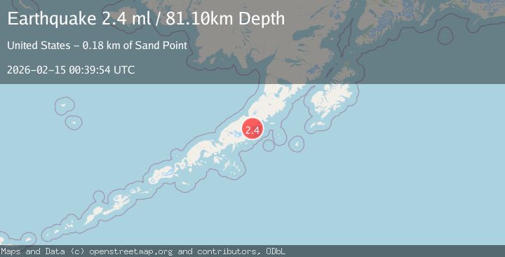
A 2.4 magnitude earthquake struck on 10 km N of Chignik, Alaska, at Sun, 15 Feb 2026 00:39:54 GMT. Depth: 81.1km. Reviewed by USGS seismologists, this minor quake occurred at a magnitude type of ml.
Magnitude
2.4
ml
Source
USGS
Intensity
-
Agency Reports
1 Sources| Source | Magnitude | Depth | Time |
|---|---|---|---|
| USGSPrimary | 2.4 | 81 km | 4 days ago |
Earthquake Details
AutomaticEvent IDusgs_ak2026deqzzx
Tsunami PotentialNo
Magnitude Typeml
Nearest Places
- Through Creek5.4 km
- Negro Head5.6 km
- Eagle Rock6.3 km
- Neketa Creek7.0 km
- Dago Frank Creek7.3 km
Comments
Join the discussion about this event.
Latest Earthquakes
2.5Mag
Tarapaca, Chile
Time1 minute ago
Depth112.55 km
SourceVYT (Automatic)
2.2Mag
Tarapaca, Chile
Time7 minutes ago
Depth111.94 km
SourceVYT (Automatic)
1.9Mag
Central Alaska
Time8 minutes ago
Depth32.10 km
SourceVYT (Automatic)
3.4Mag
HAWAII REGION, HAWAII
Time8 minutes ago
Depth4.70 km
SourceHV (Automatic)
1.9Mag
STRAIT OF GIBRALTAR
Time11 minutes ago
Depth0.00 km
SourceIGN (Automatic)
Nearby Earthquakes
3.0Mag
ALASKA PENINSULA
Time7 years ago
Depth0.00 km
SourceNEIR (Automatic)
3.0Mag
ALASKA PENINSULA
Time7 years ago
Depth39.00 km
SourceNEIR (Automatic)
3.0Mag
ALASKA PENINSULA
Time1 year ago
Depth98.00 km
SourceNEIC (Automatic)
2.5Mag
28 km S of Chignik, Alaska
Time3 weeks ago
Depth62.50 km
SourceUSGS (Automatic)
3.0Mag
ALASKA PENINSULA
Time6 years ago
Depth63.00 km
SourceNEIC (Automatic)