Earthquake 28 km S of Chignik, Alaska
Fri, 23 Jan 2026 01:11:06 GMT
Time1 week ago
Location
56.0430, -158.3370
Depth
62.5 KM
Event Summary
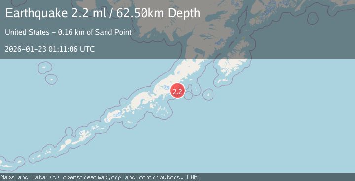
A 2.2 magnitude earthquake struck on 28 km S of Chignik, Alaska, at Fri, 23 Jan 2026 01:11:06 GMT. Depth: 62.5km. Reviewed by USGS seismologists, this minor quake occurred at a magnitude type of ml.
Magnitude
2.2
ml
Source
USGS
Intensity
-
Agency Reports
1 Sources| Source | Magnitude | Depth | Time |
|---|---|---|---|
| USGSPrimary | 2.2 | 63 km | 1 week ago |
Earthquake Details
AutomaticEvent IDusgs_ak2026bomixx
Tsunami PotentialNo
Magnitude Typeml
Nearest Places
- Devils Bay7.4 km
- Seal Cape8.1 km
- Seal Bay9.3 km
- Ship Mountain10.9 km
- Sweater Bay11.3 km
Comments
Join the discussion about this event.
Latest Earthquakes
1.4Mag
12 km E of Desert Hot Springs, CA
Time5 hours ago
Depth5.66 km
SourceUSGS (Automatic)
2.7Mag
NICARAGUA
Time5 hours ago
Depth61.00 km
SourceINET (Automatic)
3.1Mag
OFF COAST OF COSTA RICA
Time5 hours ago
Depth10.00 km
SourceUNA (Automatic)
3.8Mag
NEGROS- CEBU REG, PHILIPPINES
Time5 hours ago
Depth9.00 km
SourcePIVS (Automatic)
1.3Mag
31 km SSW of Dry Creek, Alaska
Time5 hours ago
Depth15.40 km
SourceUSGS (Automatic)
Nearby Earthquakes
2.7Mag
120 km E of Chignik, Alaska
Time1 week ago
Depth42.50 km
SourceUSGS (Automatic)
3.9Mag
113 km SSE of Ugashik, Alaska
Time1 week ago
Depth45.10 km
SourceUSGS
2.5Mag
112 km SE of Ugashik, Alaska
Time1 week ago
Depth51.20 km
SourceUSGS (Automatic)
2.6Mag
98 km SSE of Sand Point, Alaska
Time1 week ago
Depth10.00 km
SourceUSGS
3.0Mag
ALASKA PENINSULA
Time5 days ago
Depth212.60 km
SourceNEIC (Automatic)