Earthquake 26 km SSW of Petersville, Alaska
Mon, 16 Feb 2026 23:09:58 GMT
Time1 day ago
Location
62.2690, -150.9020
Depth
73.2 KM
Event Summary
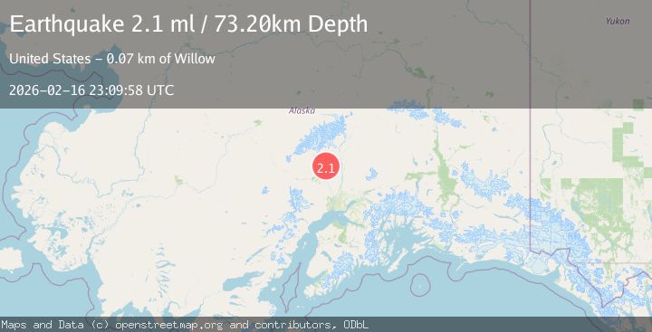
A 2.1 magnitude earthquake struck on 26 km SSW of Petersville, Alaska, at Mon, 16 Feb 2026 23:09:58 GMT. Depth: 73.2km. Reviewed by USGS seismologists, this minor quake occurred at a magnitude type of ml.
Magnitude
2.1
ml
Source
USGS
Intensity
-
Agency Reports
1 Sources| Source | Magnitude | Depth | Time |
|---|---|---|---|
| USGSPrimary | 2.1 | 73 km | 1 day ago |
Earthquake Details
ConfirmedEvent IDusgs_ak2026difmgh
Tsunami PotentialNo
Magnitude Typeml
Nearest Places
- Pickle Creek4.5 km
- Treasure Creek5.1 km
- Hungryman Creek5.1 km
- Little Peters Hills5.2 km
- Shovel Creek5.5 km
Comments
Join the discussion about this event.
Latest Earthquakes
3.6Mag
Fox Islands, Aleutian Islands, Alaska
Time1 minute ago
Depth28.81 km
SourceVYT (Automatic)
1.3Mag
Washington
Time2 minutes ago
Depth0.00 km
SourceVYT (Automatic)
2.0Mag
Antofagasta, Chile
Time3 minutes ago
Depth28.32 km
SourceVYT (Automatic)
1.2Mag
Central Alaska
Time4 minutes ago
Depth0.00 km
SourceVYT (Automatic)
2.1Mag
Sulawesi, Indonesia
Time5 minutes ago
Depth7.10 km
SourceBMKG
Nearby Earthquakes
2.1Mag
26 km SSW of Petersville, Alaska
Time1 day ago
Depth74.10 km
SourceUSGS
3.0Mag
CENTRAL ALASKA
Time2 years ago
Depth78.00 km
SourceNEIC (Automatic)
2.2Mag
Central Alaska
Time1 day ago
Depth67.87 km
SourceVYT (Automatic)
3.0Mag
CENTRAL ALASKA
Time9 years ago
Depth74.00 km
SourceNEIC (Automatic)
2.2Mag
CENTRAL ALASKA
Time1 month ago
Depth80.60 km
SourceNEIC (Automatic)