Earthquake 26 km SSW of Petersville, Alaska
Tue, 17 Feb 2026 00:01:13 GMT
Time1 day ago
Location
62.2630, -150.9050
Depth
74.1 KM
Event Summary
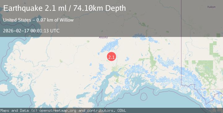
A 2.1 magnitude earthquake struck on 26 km SSW of Petersville, Alaska, at Tue, 17 Feb 2026 00:01:13 GMT. Depth: 74.1km. Reviewed by USGS seismologists, this minor quake occurred at a magnitude type of ml.
Magnitude
2.1
ml
Source
USGS
Intensity
-
Agency Reports
1 Sources| Source | Magnitude | Depth | Time |
|---|---|---|---|
| USGSPrimary | 2.1 | 74 km | 1 day ago |
Earthquake Details
ConfirmedEvent IDusgs_ak2026dihekg
Tsunami PotentialNo
Magnitude Typeml
Nearest Places
- Treasure Creek4.4 km
- Pickle Creek4.7 km
- Shovel Creek4.8 km
- Hungryman Creek5.5 km
- Little Peters Hills5.9 km
Comments
Join the discussion about this event.
Latest Earthquakes
3.8Mag
Tarapaca, Chile
Time3 minutes ago
Depth93.51 km
SourceVYT (Automatic)
2.5Mag
Ceram Sea
Time5 minutes ago
Depth3.27 km
SourceBMKG
2.1Mag
Halmahera, Indonesia
Time7 minutes ago
Depth4.45 km
SourceBMKG
3.4Mag
Talaud Islands, Indonesia
Time11 minutes ago
Depth98.99 km
SourceBMKG
2.1Mag
Flores Region, Indonesia
Time12 minutes ago
Depth165.90 km
SourceBMKG
Nearby Earthquakes
2.1Mag
26 km SSW of Petersville, Alaska
Time1 day ago
Depth73.20 km
SourceUSGS
3.0Mag
CENTRAL ALASKA
Time2 years ago
Depth78.00 km
SourceNEIC (Automatic)
2.2Mag
Central Alaska
Time2 days ago
Depth67.87 km
SourceVYT (Automatic)
3.0Mag
CENTRAL ALASKA
Time9 years ago
Depth74.00 km
SourceNEIC (Automatic)
2.2Mag
CENTRAL ALASKA
Time1 month ago
Depth80.60 km
SourceNEIC (Automatic)