Earthquake 10 km WNW of Salcha, Alaska
Tue, 17 Feb 2026 19:11:34 GMT
Time11 hours ago
Location
64.5520, -147.1080
Depth
5.0 KM
Event Summary
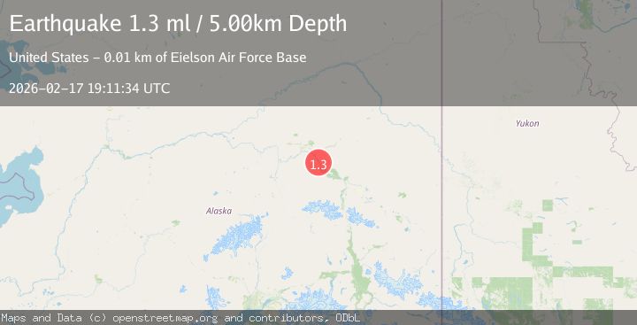
A 1.3 magnitude earthquake struck on 10 km WNW of Salcha, Alaska, at Tue, 17 Feb 2026 19:11:34 GMT. Depth: 5km. Reviewed by USGS seismologists, this minor quake occurred at a magnitude type of ml.
Magnitude
1.3
ml
Source
USGS
Intensity
-
Agency Reports
1 Sources| Source | Magnitude | Depth | Time |
|---|---|---|---|
| USGSPrimary | 1.3 | 5 km | 11 hours ago |
Earthquake Details
AutomaticEvent IDusgs_ak2026djthsc
Tsunami PotentialNo
Magnitude Typeml
Nearest Places
- Salcha Slough2.8 km
- Salcha Fire and Rescue Station 14.0 km
- Stringer Road Pond5.4 km
- Piledriver Roadhouse (historical)5.5 km
- Little Salcha River5.8 km
Comments
Join the discussion about this event.
Latest Earthquakes
1.2Mag
34 km WSW of Ackerly, Texas
Time11 hours ago
Depth3.87 km
SourceUSGS (Automatic)
1.2Mag
8 km SW of Morongo Valley, CA
Time11 hours ago
Depth15.22 km
SourceUSGS (Automatic)
2.4Mag
Northern Sumatra, Indonesia
Time11 hours ago
Depth7.72 km
SourceBMKG
2.3Mag
Tarapaca, Chile
Time11 hours ago
Depth61.65 km
SourceVYT (Automatic)
2.0Mag
Poland
Time11 hours ago
Depth2.32 km
SourceVYT (Automatic)
Nearby Earthquakes
1.9Mag
Central Alaska
Time1 week ago
Depth3.91 km
SourceVYT (Automatic)
5.3Mag
CENTRAL ALASKA
Time2 years ago
Depth7.20 km
SourceEMSC (Automatic)
1.6Mag
16 km WSW of Salcha, Alaska
Time1 week ago
Depth7.50 km
SourceUSGS (Automatic)
0.7Mag
2 km SSW of Salcha, Alaska
Time3 weeks ago
Depth7.70 km
SourceUSGS (Automatic)
3.0Mag
CENTRAL ALASKA
Time4 months ago
Depth5.90 km
SourceNEIC (Automatic)