Earthquake 87 km N of Karluk, Alaska
Tue, 17 Feb 2026 21:48:45 GMT
Time11 hours ago
Location
58.3440, -154.6620
Depth
5.0 KM
Event Summary
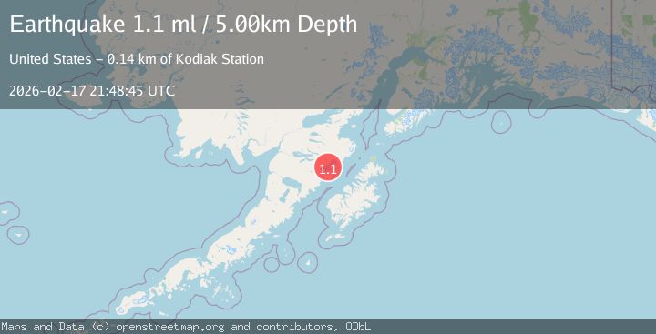
A 1.1 magnitude earthquake struck on 87 km N of Karluk, Alaska, at Tue, 17 Feb 2026 21:48:45 GMT. Depth: 5km. Reviewed by USGS seismologists, this minor quake occurred at a magnitude type of ml.
Magnitude
1.1
ml
Source
USGS
Intensity
-
Agency Reports
1 Sources| Source | Magnitude | Depth | Time |
|---|---|---|---|
| USGSPrimary | 1.1 | 5 km | 11 hours ago |
Earthquake Details
AutomaticEvent IDusgs_ak2026djynea
Tsunami PotentialNo
Magnitude Typeml
Nearest Places
- Snowy Mountain1.7 km
- Serpent Tongue Glacier3.2 km
- Noisy Mountain13.0 km
- Noisy Glacier14.4 km
- Mount Denison14.9 km
Comments
Join the discussion about this event.
Latest Earthquakes
2.1Mag
Southern Alaska
Time4 minutes ago
Depth67.26 km
SourceVYT (Automatic)
2.2Mag
western Russia
Time7 minutes ago
Depth0.00 km
SourceVYT (Automatic)
1.5Mag
4 km NNW of The Geysers, CA
Time8 minutes ago
Depth-0.27 km
SourceUSGS (Automatic)
1.0Mag
9 km WNW of Two Rivers, Alaska
Time8 minutes ago
Depth5.70 km
SourceUSGS (Automatic)
2.9Mag
NORTHERN CALIFORNIA
Time10 minutes ago
Depth0.10 km
SourceNC (Automatic)
Nearby Earthquakes
1.8Mag
ALASKA PENINSULA
Time1 month ago
Depth4.40 km
SourceAV (Automatic)
5.0Mag
ALASKA PENINSULA
Time15 years ago
Depth60.00 km
SourceEMSC (Automatic)
3.0Mag
ALASKA PENINSULA
Time5 years ago
Depth10.00 km
SourceNEIC (Automatic)
1.0Mag
81 km NNW of Karluk, Alaska
Time1 day ago
Depth29.80 km
SourceUSGS (Automatic)
1.8Mag
Alaska Peninsula
Time4 days ago
Depth0.49 km
SourceVYT (Automatic)