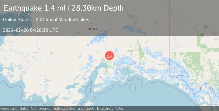
Earthquake 13 km N of Meadow Lakes, Alaska
Fri, 20 Feb 2026 04:28:38 GMT
Time1 hour ago
Location
61.7470, -149.6010
Depth
28.3 KM
Event Summary
A 1.4 magnitude earthquake struck on 13 km N of Meadow Lakes, Alaska, at Fri, 20 Feb 2026 04:28:38 GMT. Depth: 28.3km. Reviewed by USGS seismologists, this minor quake occurred at a magnitude type of ml.
Magnitude
1.4
ml
Source
USGS
Intensity
-
Agency Reports
1 Sources| Source | Magnitude | Depth | Time |
|---|---|---|---|
| USGSPrimary | 1.4 | 28 km | 1 hour ago |
Earthquake Details
AutomaticEvent IDusgs_aka2026dodfmh
Tsunami PotentialNo
Magnitude Typeml
Nearest Places
- Sawmill Creek3.9 km
- East Fork Sawmill Creek4.3 km
- West Fork Sawmill Creek4.3 km
- Francie Creek4.8 km
- Shorty Creek6.2 km
Comments
Join the discussion about this event.
Latest Earthquakes
1.0Mag
33 km SE of Minto, Alaska
Time42 minutes ago
Depth8.60 km
SourceUSGS (Automatic)
2.3Mag
Potosi, Bolivia
Time44 minutes ago
Depth166.38 km
SourceVYT (Automatic)
2.5Mag
Java, Indonesia
Time47 minutes ago
Depth16.27 km
SourceBMKG
3.2Mag
Tarapaca, Chile
Time51 minutes ago
Depth111.21 km
SourceVYT (Automatic)
2.0Mag
CENTRAL TURKEY
Time56 minutes ago
Depth3.40 km
SourceKOERI (Automatic)
Nearby Earthquakes
3.0Mag
SOUTHERN ALASKA
Time3 years ago
Depth35.00 km
SourceNEIC (Automatic)
2.1Mag
Southern Alaska
Time6 days ago
Depth28.32 km
SourceVYT (Automatic)
4.0Mag
SOUTHERN ALASKA
Time3 years ago
Depth36.00 km
SourceNEIC (Automatic)
3.2Mag
SOUTHERN ALASKA
Time1 month ago
Depth39.20 km
SourceNEIC (Automatic)
1.5Mag
13 km NNW of Meadow Lakes, Alaska
Time4 days ago
Depth46.20 km
SourceUSGS (Automatic)