Earthquake Southern Alaska
Fri, 13 Feb 2026 14:13:29 GMT
Time5 days ago
Location
61.7580, -149.6313
Depth
28.3 KM
Event Summary
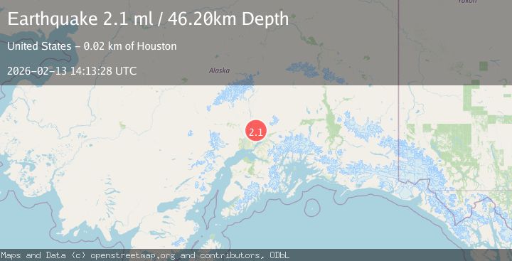
A 2.1 magnitude earthquake struck on Southern Alaska, at Fri, 13 Feb 2026 14:13:29 GMT. Depth: 28.3203125km. Reviewed by VYT seismologists, this minor quake occurred at a magnitude type of earthquake.
Magnitude
2.1
earthquake
Source
VYT
Intensity
-
Agency Reports
2 Sources| Source | Magnitude | Depth | Time |
|---|---|---|---|
| VYTPrimary | 1.4 | 28 km | 5 days ago |
| USGS | 2.1 | 46 km | 5 days ago |
Earthquake Details
AutomaticEvent IDvyt_x5smm2edtcvb
Tsunami PotentialNo
Magnitude Typeearthquake
Nearest Places
- Twelvemile Lake5.0 km
- Sawmill Creek5.1 km
- East Fork Sawmill Creek5.6 km
- West Fork Sawmill Creek5.6 km
- Peters Creek5.7 km
Comments
Join the discussion about this event.
Latest Earthquakes
3.5Mag
COOK STRAIT, NEW ZEALAND
Time2 minutes ago
Depth75.30 km
SourceGNS (Automatic)
2.4Mag
Seram, Indonesia
Time3 minutes ago
Depth18.42 km
SourceBMKG
2.6Mag
West Papua Region, Indonesia
Time6 minutes ago
Depth17.35 km
SourceBMKG
2.8Mag
Antofagasta, Chile
Time9 minutes ago
Depth0.00 km
SourceVYT (Automatic)
3.3Mag
Near North Coast of West Papua
Time11 minutes ago
Depth10.00 km
SourceBMKG
Nearby Earthquakes
3.0Mag
SOUTHERN ALASKA
Time3 years ago
Depth35.00 km
SourceNEIC (Automatic)
3.2Mag
SOUTHERN ALASKA
Time1 month ago
Depth39.20 km
SourceNEIC (Automatic)
2.1Mag
16 km NNW of Meadow Lakes, Alaska
Time2 weeks ago
Depth22.60 km
SourceUSGS (Automatic)
1.5Mag
13 km NNW of Meadow Lakes, Alaska
Time2 days ago
Depth46.20 km
SourceUSGS (Automatic)
3.0Mag
SOUTHERN ALASKA
Time5 years ago
Depth35.00 km
SourceNEIC (Automatic)