Earthquake 50 km WSW of Tatitlek, Alaska
Sat, 21 Feb 2026 22:14:28 GMT
Time1 hour ago
Location
60.6250, -147.4750
Depth
20.4 KM
Event Summary
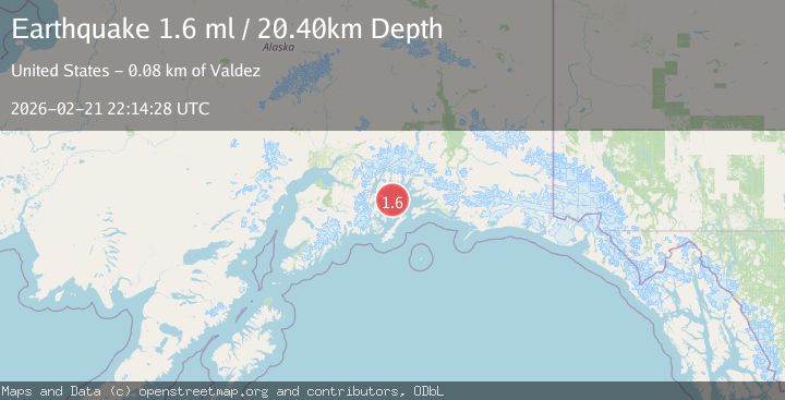
A 1.6 magnitude earthquake struck on 50 km WSW of Tatitlek, Alaska, at Sat, 21 Feb 2026 22:14:28 GMT. Depth: 20.4km. Reviewed by USGS seismologists, this minor quake occurred at a magnitude type of ml.
Magnitude
1.6
ml
Source
USGS
Intensity
-
Agency Reports
1 Sources| Source | Magnitude | Depth | Time |
|---|---|---|---|
| USGSPrimary | 1.6 | 20 km | 1 hour ago |
Earthquake Details
AutomaticEvent IDusgs_aka2026drigul
Tsunami PotentialNo
Magnitude Typeml
Nearest Places
- 2.2 km
- 4.4 km
- 4.7 km
- 5.1 km
- 6.9 km
Comments
Join the discussion about this event.
Latest Earthquakes
2.3Mag
Java, Indonesia
Time1 hour ago
Depth11.94 km
SourceBMKG
2.7Mag
western Texas
Time1 hour ago
Depth0.00 km
SourceVYT (Automatic)
2.0Mag
Tarapaca, Chile
Time1 hour ago
Depth56.27 km
SourceVYT (Automatic)
2.9Mag
northern Colombia
Time1 hour ago
Depth153.20 km
SourceVYT (Automatic)
2.3Mag
Alaska Peninsula
Time1 hour ago
Depth146.61 km
SourceVYT (Automatic)
Nearby Earthquakes
2.0Mag
Southern Alaska
Time2 days ago
Depth10.50 km
SourceVYT (Automatic)
5.3Mag
SOUTHERN ALASKA
Time8 years ago
Depth16.00 km
SourceEMSC (Automatic)
5.3Mag
SOUTHERN ALASKA
Time21 years ago
Depth30.00 km
SourceEMSC (Automatic)
1.6Mag
Southern Alaska
Time2 days ago
Depth17.82 km
SourceVYT (Automatic)
3.0Mag
SOUTHERN ALASKA
Time4 years ago
Depth18.00 km
SourceNEIC (Automatic)