Earthquake SOUTHERN ALASKA
Mon, 27 Nov 2017 22:18:28 GMT
Time8 years ago
Location
60.5600, -147.4200
Depth
16.0 KM
Event Summary
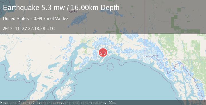
A 5.3 magnitude earthquake struck on SOUTHERN ALASKA, at Mon, 27 Nov 2017 22:18:28 GMT. Depth: 16km. Reviewed by EMSC seismologists, this moderate quake occurred at a magnitude type of mw.
Magnitude
5.3
mw
Source
EMSC
Intensity
-
Agency Reports
1 Sources| Source | Magnitude | Depth | Time |
|---|---|---|---|
| EMSCPrimary | 5.3 | 16 km | 8 years ago |
Earthquake Details
AutomaticEvent IDemsc_EMSC_20171127_0000104
Tsunami PotentialNo
Magnitude Typemw
Nearest Places
- Little Smith Island4.7 km
- Smith Island5.0 km
- Smith Island Light (historical)6.4 km
- Smith Island Lighted Buoy 17.8 km
- Point Eleanor8.2 km
Comments
Join the discussion about this event.
Latest Earthquakes
1.2Mag
Southern Alaska
Time6 minutes ago
Depth37.11 km
SourceVYT (Automatic)
3.0Mag
Seram, Indonesia
Time6 minutes ago
Depth12.36 km
SourceBMKG
1.1Mag
Washington
Time10 minutes ago
Depth9.64 km
SourceVYT (Automatic)
1.3Mag
WESTERN TURKEY
Time10 minutes ago
Depth8.60 km
SourceAFAD (Automatic)
1.9Mag
32 km NW of Toyah, Texas
Time12 minutes ago
Depth4.09 km
SourceUSGS (Automatic)
Nearby Earthquakes
1.7Mag
Southern Alaska
Time1 week ago
Depth0.00 km
SourceVYT (Automatic)
1.8Mag
56 km NE of Chenega, Alaska
Time3 weeks ago
Depth20.90 km
SourceUSGS (Automatic)
3.0Mag
SOUTHERN ALASKA
Time8 years ago
Depth9.00 km
SourceNEIR (Automatic)
2.9Mag
Southern Alaska
Time4 days ago
Depth17.70 km
SourceVYT (Automatic)
2.3Mag
57 km NE of Chenega, Alaska
Time1 week ago
Depth19.80 km
SourceUSGS (Automatic)