Earthquake 63 km WNW of Karluk, Alaska
Mon, 23 Feb 2026 22:17:54 GMT
Time2 hours ago
Location
57.8320, -155.4050
Depth
17.2 KM
Event Summary
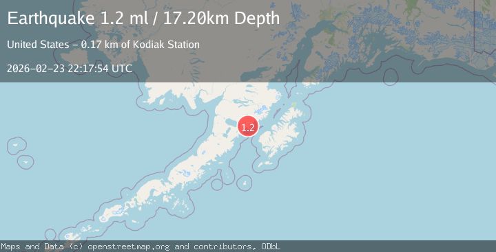
A 1.2 magnitude earthquake struck on 63 km WNW of Karluk, Alaska, at Mon, 23 Feb 2026 22:17:54 GMT. Depth: 17.2km. Reviewed by USGS seismologists, this minor quake occurred at a magnitude type of ml.
Magnitude
1.2
ml
Source
USGS
Intensity
-
Agency Reports
1 Sources| Source | Magnitude | Depth | Time |
|---|---|---|---|
| USGSPrimary | 1.2 | 17 km | 2 hours ago |
Earthquake Details
AutomaticEvent IDusgs_aka2026duzvof
Tsunami PotentialNo
Magnitude Typeml
Nearest Places
- 4.1 km
- 5.2 km
- 6.5 km
- 7.6 km
- 8.4 km
Comments
Join the discussion about this event.
Latest Earthquakes
3.1Mag
Central Alaska
Time1 hour ago
Depth7.81 km
SourceVYT (Automatic)
2.0Mag
Sweden
Time1 hour ago
Depth0.00 km
SourceVYT (Automatic)
1.7Mag
Southern Alaska
Time1 hour ago
Depth9.03 km
SourceVYT (Automatic)
2.3Mag
ISLAND OF HAWAII, HAWAII
Time1 hour ago
Depth29.00 km
SourceHV (Automatic)
1.5Mag
Central Alaska
Time1 hour ago
Depth48.22 km
SourceVYT (Automatic)
Nearby Earthquakes
1.1Mag
73 km WNW of Karluk, Alaska
Time4 days ago
Depth21.20 km
SourceUSGS (Automatic)
2.5Mag
ALASKA PENINSULA
Time1 month ago
Depth75.90 km
SourceNEIC (Automatic)
2.4Mag
Alaska Peninsula
Time2 days ago
Depth162.72 km
SourceVYT (Automatic)
1.1Mag
80 km WNW of Karluk, Alaska
Time3 weeks ago
Depth6.30 km
SourceUSGS (Automatic)
2.3Mag
Alaska Peninsula
Time1 week ago
Depth0.00 km
SourceVYT (Automatic)