Earthquake 73 km WNW of Karluk, Alaska
Thu, 19 Feb 2026 09:31:20 GMT
Time2 hours ago
Location
57.8880, -155.5370
Depth
21.2 KM
Event Summary
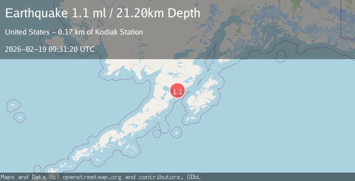
A 1.1 magnitude earthquake struck on 73 km WNW of Karluk, Alaska, at Thu, 19 Feb 2026 09:31:20 GMT. Depth: 21.2km. Reviewed by USGS seismologists, this minor quake occurred at a magnitude type of ml.
Magnitude
1.1
ml
Source
USGS
Intensity
-
Agency Reports
1 Sources| Source | Magnitude | Depth | Time |
|---|---|---|---|
| USGSPrimary | 1.1 | 21 km | 2 hours ago |
Earthquake Details
AutomaticEvent IDusgs_aka2026dmrnlz
Tsunami PotentialNo
Magnitude Typeml
Nearest Places
- Albert Creek1.6 km
- East Fork Kejulik River4.7 km
- Margaret Creek11.3 km
- Portage Creek11.6 km
- Becharof Wilderness12.6 km
Comments
Join the discussion about this event.
Latest Earthquakes
1.7Mag
Czech Republic
Time2 hours ago
Depth0.00 km
SourceVYT (Automatic)
2.4Mag
Central Alaska
Time2 hours ago
Depth1.71 km
SourceVYT (Automatic)
1.4Mag
7 km SE of Ackerly, Texas
Time2 hours ago
Depth2.18 km
SourceUSGS (Automatic)
1.7Mag
Alaska Peninsula
Time2 hours ago
Depth0.00 km
SourceVYT (Automatic)
1.4Mag
Kenai Peninsula, Alaska
Time2 hours ago
Depth1.95 km
SourceVYT (Automatic)
Nearby Earthquakes
1.1Mag
80 km WNW of Karluk, Alaska
Time2 weeks ago
Depth6.30 km
SourceUSGS (Automatic)
2.3Mag
Alaska Peninsula
Time1 week ago
Depth0.00 km
SourceVYT (Automatic)
1.5Mag
83 km WNW of Karluk, Alaska
Time1 week ago
Depth7.30 km
SourceUSGS (Automatic)
1.4Mag
87 km WNW of Karluk, Alaska
Time1 week ago
Depth4.80 km
SourceUSGS (Automatic)
1.4Mag
73 km NW of Karluk, Alaska
Time3 weeks ago
Depth1.20 km
SourceUSGS (Automatic)