Earthquake 33 km NW of Ester, Alaska
Tue, 24 Feb 2026 02:05:13 GMT
Time9 hours ago
Location
65.0900, -148.4420
Depth
12.5 KM
Event Summary
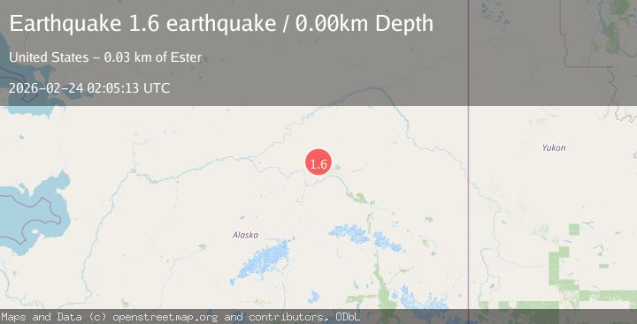
A 1.6 magnitude earthquake struck on 33 km NW of Ester, Alaska, at Tue, 24 Feb 2026 02:05:13 GMT. Depth: 12.5km. Reviewed by USGS seismologists, this minor quake occurred at a magnitude type of ml.
Magnitude
1.6
ml
Source
USGS
Intensity
-
Agency Reports
2 Sources| Source | Magnitude | Depth | Time |
|---|---|---|---|
| USGSPrimary | 1.4 | 13 km | 9 hours ago |
| VYT | 1.6 | 0 km | 9 hours ago |
Earthquake Details
AutomaticEvent IDusgs_aka2026dvhjky
Tsunami PotentialNo
Magnitude Typeml
Nearest Places
- 7.2 km
- 7.4 km
- 14.1 km
- 14.5 km
- 15.8 km
Comments
Join the discussion about this event.
Latest Earthquakes
0.6Mag
8 km SW of Anza, CA
Time8 hours ago
Depth3.50 km
SourceUSGS (Automatic)
1.6Mag
Central Alaska
Time8 hours ago
Depth121.83 km
SourceVYT (Automatic)
1.0Mag
Pyrenees
Time8 hours ago
Depth0.00 km
SourceVYT (Automatic)
1.5Mag
Central Alaska
Time8 hours ago
Depth83.74 km
SourceVYT (Automatic)
2.4Mag
Kepulauan Tanimbar, Indonesia
Time8 hours ago
Depth234.25 km
SourceVYT (Automatic)
Nearby Earthquakes
1.2Mag
northern Alaska
Time3 days ago
Depth5.37 km
SourceVYT (Automatic)
1.3Mag
31 km ESE of Minto, Alaska
Time2 weeks ago
Depth16.30 km
SourceUSGS (Automatic)
1.2Mag
32 km ESE of Minto, Alaska
Time2 weeks ago
Depth5.60 km
SourceUSGS (Automatic)
2.8Mag
36 km SSE of Livengood, Alaska
Time3 weeks ago
Depth1.60 km
SourceUSGS (Automatic)
0.7Mag
28 km WNW of Ester, Alaska
Time1 month ago
Depth10.80 km
SourceUSGS (Automatic)