Earthquake 59 km WNW of Tatitlek, Alaska
Tue, 24 Feb 2026 06:13:33 GMT
Time1 hour ago
Location
61.1460, -147.6070
Depth
5.0 KM
Event Summary
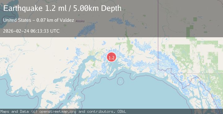
A 1.2 magnitude earthquake struck on 59 km WNW of Tatitlek, Alaska, at Tue, 24 Feb 2026 06:13:33 GMT. Depth: 5km. Reviewed by USGS seismologists, this minor quake occurred at a magnitude type of ml.
Magnitude
1.2
ml
Source
USGS
Intensity
-
Agency Reports
1 Sources| Source | Magnitude | Depth | Time |
|---|---|---|---|
| USGSPrimary | 1.2 | 5 km | 1 hour ago |
Earthquake Details
AutomaticEvent IDusgs_aka2026dvppld
Tsunami PotentialNo
Magnitude Typeml
Nearest Places
- 1.9 km
- 2.5 km
- 4.4 km
- 4.5 km
- 4.9 km
Comments
Join the discussion about this event.
Latest Earthquakes
2.7Mag
Andreanof Islands, Aleutian Islands, Alaska
Time2 minutes ago
Depth33.20 km
SourceVYT (Automatic)
1.8Mag
WESTERN TURKEY
Time10 minutes ago
Depth8.90 km
SourceAFAD (Automatic)
3.7Mag
SAN JUAN, ARGENTINA
Time11 minutes ago
Depth97.00 km
SourceNSNA (Automatic)
2.1Mag
Southern Alaska
Time14 minutes ago
Depth126.83 km
SourceVYT (Automatic)
1.4Mag
Southern Alaska
Time14 minutes ago
Depth0.00 km
SourceVYT (Automatic)
Nearby Earthquakes
1.7Mag
Southern Alaska
Time1 week ago
Depth0.00 km
SourceVYT (Automatic)
2.1Mag
Southern Alaska
Time1 week ago
Depth2.44 km
SourceVYT (Automatic)
1.1Mag
55 km WNW of Tatitlek, Alaska
Time2 days ago
Depth20.40 km
SourceUSGS (Automatic)
1.4Mag
Southern Alaska
Time4 days ago
Depth0.00 km
SourceVYT (Automatic)
1.3Mag
Southern Alaska
Time1 week ago
Depth3.17 km
SourceVYT (Automatic)