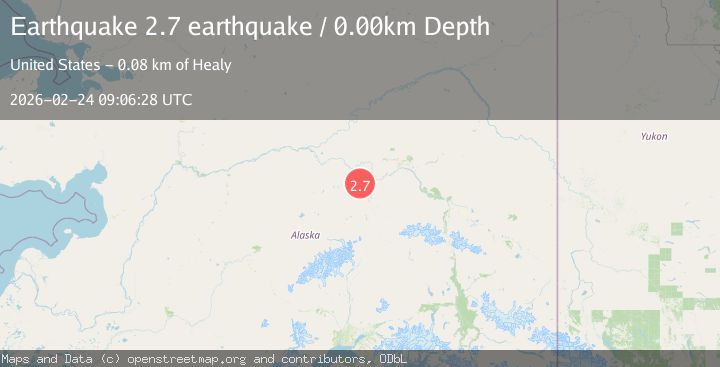
Earthquake 18 km NW of Anderson, Alaska
Tue, 24 Feb 2026 09:06:29 GMT
Time1 hour ago
Location
64.4720, -149.4450
Depth
5.6 KM
Event Summary
A 2.2 magnitude earthquake struck on 18 km NW of Anderson, Alaska, at Tue, 24 Feb 2026 09:06:29 GMT. Depth: 5.6km. Reviewed by USGS seismologists, this minor quake occurred at a magnitude type of ml.
Magnitude
2.2
ml
Source
USGS
Intensity
-
Agency Reports
1 Sources| Source | Magnitude | Depth | Time |
|---|---|---|---|
| USGSPrimary | 2.2 | 6 km | 1 hour ago |
Earthquake Details
AutomaticEvent IDusgs_aka2026dvvilo
Tsunami PotentialNo
Magnitude Typeml
Nearest Places
- 6.1 km
- 6.3 km
- 13.1 km
- 14.9 km
- 16.5 km
Comments
Join the discussion about this event.
Latest Earthquakes
1.0Mag
7 km NW of The Geysers, CA
Time1 hour ago
Depth2.36 km
SourceUSGS (Automatic)
3.2Mag
South of Java, Indonesia
Time1 hour ago
Depth20.06 km
SourceBMKG
0.7Mag
6 km NW of Parkfield, CA
Time1 hour ago
Depth5.15 km
SourceUSGS (Automatic)
1.6Mag
98 km E of McCarthy, Alaska
Time1 hour ago
Depth5.00 km
SourceUSGS (Automatic)
3.6Mag
Offshore Crete, Greece
Time1 hour ago
Depth19.29 km
SourceVYT (Automatic)
Nearby Earthquakes
1.3Mag
18 km WSW of Nenana, Alaska
Time2 weeks ago
Depth4.30 km
SourceUSGS (Automatic)
1.4Mag
Central Alaska
Time1 day ago
Depth0.00 km
SourceVYT (Automatic)
3.0Mag
CENTRAL ALASKA
Time11 months ago
Depth15.90 km
SourceNEIC (Automatic)
1.2Mag
6 km W of Four Mile Road, Alaska
Time1 week ago
Depth5.00 km
SourceUSGS (Automatic)
1.1Mag
Central Alaska
Time1 day ago
Depth16.36 km
SourceVYT (Automatic)