Earthquake 6 km W of Four Mile Road, Alaska
Mon, 16 Feb 2026 14:32:08 GMT
Time1 day ago
Location
64.6080, -149.2500
Depth
5.0 KM
Event Summary
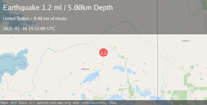
A 1.2 magnitude earthquake struck on 6 km W of Four Mile Road, Alaska, at Mon, 16 Feb 2026 14:32:08 GMT. Depth: 5km. Reviewed by USGS seismologists, this minor quake occurred at a magnitude type of ml.
Magnitude
1.2
ml
Source
USGS
Intensity
-
Agency Reports
2 Sources| Source | Magnitude | Depth | Time |
|---|---|---|---|
| USGSPrimary | 1.2 | 5 km | 1 day ago |
| VYT | 1.1 | 0 km | 1 day ago |
Earthquake Details
AutomaticEvent IDusgs_ak2026dhoiao
Tsunami PotentialNo
Magnitude Typeml
Nearest Places
- Beth T'otono Dochaget5.6 km
- West Middle River5.8 km
- Toch'edha Neek'a Dochaget6.1 km
- Four Mile Road6.2 km
- East Middle River6.4 km
Comments
Join the discussion about this event.
Latest Earthquakes
2.4Mag
Finland-Russia border region
Time2 minutes ago
Depth341.92 km
SourceVYT (Automatic)
0.9Mag
8 km W of Cobb, CA
Time7 minutes ago
Depth1.53 km
SourceUSGS (Automatic)
1.8Mag
Central Alaska
Time9 minutes ago
Depth2.08 km
SourceVYT (Automatic)
2.9Mag
WESTERN TURKEY
Time12 minutes ago
Depth11.80 km
SourceKOERI (Automatic)
2.8Mag
Sulawesi, Indonesia
Time13 minutes ago
Depth21.08 km
SourceBMKG
Nearby Earthquakes
1.9Mag
Central Alaska
Time3 days ago
Depth17.70 km
SourceVYT (Automatic)
0.8Mag
4 km NNW of Four Mile Road, Alaska
Time2 weeks ago
Depth19.10 km
SourceUSGS (Automatic)
2.2Mag
8 km N of Four Mile Road, Alaska
Time3 weeks ago
Depth19.90 km
SourceUSGS (Automatic)
1.0Mag
6 km NNE of Four Mile Road, Alaska
Time22 hours ago
Depth2.00 km
SourceUSGS (Automatic)
0.8Mag
14 km NNW of Four Mile Road, Alaska
Time2 weeks ago
Depth19.30 km
SourceUSGS (Automatic)