Earthquake 8 km NE of Anderson, Alaska
Thu, 26 Feb 2026 05:23:39 GMT
Time1 hour ago
Location
64.3900, -149.0410
Depth
1.3 KM
Event Summary
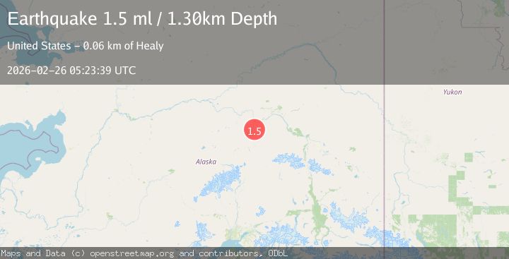
A 1.5 magnitude earthquake struck on 8 km NE of Anderson, Alaska, at Thu, 26 Feb 2026 05:23:39 GMT. Depth: 1.3km. Reviewed by USGS seismologists, this minor quake occurred at a magnitude type of ml.
Magnitude
1.5
ml
Source
USGS
Intensity
-
Agency Reports
1 Sources| Source | Magnitude | Depth | Time |
|---|---|---|---|
| USGSPrimary | 1.5 | 1 km | 1 hour ago |
Earthquake Details
AutomaticEvent IDusgs_aka2026dzfkes
Tsunami PotentialNo
Magnitude Typeml
Nearest Places
- 3.9 km
- 5.1 km
- 5.4 km
- 6.7 km
- 6.9 km
Comments
Join the discussion about this event.
Latest Earthquakes
2.4Mag
Tarapaca, Chile
Time56 seconds ago
Depth109.74 km
SourceVYT (Automatic)
2.9Mag
offshore Valparaiso, Chile
Time2 minutes ago
Depth14.89 km
SourceVYT (Automatic)
2.3Mag
Baja California, Mexico
Time5 minutes ago
Depth0.00 km
SourceVYT (Automatic)
2.1Mag
Tarapaca, Chile
Time7 minutes ago
Depth5.00 km
SourceVYT (Automatic)
2.3Mag
Sumbawa Region, Indonesia
Time15 minutes ago
Depth10.00 km
SourceBMKG
Nearby Earthquakes
1.3Mag
12 km SSE of Nenana, Alaska
Time1 month ago
Depth1.80 km
SourceUSGS (Automatic)
1.3Mag
22 km E of Anderson, Alaska
Time3 days ago
Depth14.10 km
SourceUSGS (Automatic)
3.0Mag
CENTRAL ALASKA
Time11 months ago
Depth15.90 km
SourceNEIC (Automatic)
1.4Mag
Central Alaska
Time3 days ago
Depth0.00 km
SourceVYT (Automatic)
1.3Mag
23 km ESE of Nenana, Alaska
Time21 hours ago
Depth5.00 km
SourceUSGS (Automatic)