Earthquake 124 km NW of Yakutat, Alaska
Fri, 27 Feb 2026 20:36:53 GMT
Time1 hour ago
Location
60.3520, -141.2830
Depth
17.0 KM
Event Summary
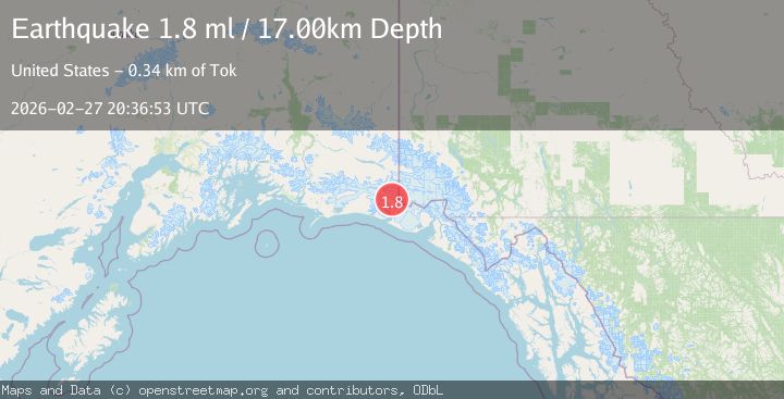
A 1.8 magnitude earthquake struck on 124 km NW of Yakutat, Alaska, at Fri, 27 Feb 2026 20:36:53 GMT. Depth: 17km. Reviewed by USGS seismologists, this minor quake occurred at a magnitude type of ml.
Magnitude
1.8
ml
Source
USGS
Intensity
-
Agency Reports
2 Sources| Source | Magnitude | Depth | Time |
|---|---|---|---|
| USGSPrimary | 1.8 | 17 km | 1 hour ago |
| VYT | 1.5 | 23 km | 1 hour ago |
Earthquake Details
ConfirmedEvent IDusgs_aka2026ecfjuo
Tsunami PotentialNo
Magnitude Typeml
Nearest Places
- 7.9 km
- 10.4 km
- 11.9 km
- 12.4 km
- 15.7 km
Comments
Join the discussion about this event.
Latest Earthquakes
3.8Mag
Timor region, Indonesia
Time1 hour ago
Depth10.00 km
SourceVYT (Automatic)
2.9Mag
SAN JUAN, ARGENTINA
Time1 hour ago
Depth97.00 km
SourceNSNA (Automatic)
2.6Mag
Tarapaca, Chile
Time1 hour ago
Depth94.73 km
SourceVYT (Automatic)
2.5Mag
DODECANESE IS.-TURKEY BORDER REG
Time1 hour ago
Depth26.30 km
SourceKOERI (Automatic)
2.4Mag
northern Sumatra, Indonesia
Time1 hour ago
Depth0.00 km
SourceVYT (Automatic)
Nearby Earthquakes
1.5Mag
Southeastern Alaska
Time2 weeks ago
Depth6.10 km
SourceVYT (Automatic)
3.0Mag
SOUTHERN ALASKA
Time2 years ago
Depth2.50 km
SourceAK (Automatic)
2.5Mag
127 km NW of Yakutat, Alaska
Time1 month ago
Depth19.90 km
SourceUSGS (Automatic)
1.1Mag
Southeastern Alaska
Time1 week ago
Depth0.00 km
SourceVYT (Automatic)
1.0Mag
Southeastern Alaska
Time1 week ago
Depth0.00 km
SourceVYT (Automatic)