Earthquake 69 km N of Aleneva, Alaska
Sat, 28 Feb 2026 12:58:32 GMT
Time2 hours ago
Location
58.6800, -152.7950
Depth
48.6 KM
Event Summary
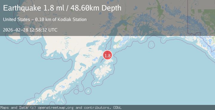
A 1.8 magnitude earthquake struck on 69 km N of Aleneva, Alaska, at Sat, 28 Feb 2026 12:58:32 GMT. Depth: 48.6km. Reviewed by USGS seismologists, this minor quake occurred at a magnitude type of ml.
Magnitude
1.8
ml
Source
USGS
Intensity
-
Agency Reports
1 Sources| Source | Magnitude | Depth | Time |
|---|---|---|---|
| USGSPrimary | 1.8 | 49 km | 2 hours ago |
Earthquake Details
AutomaticEvent IDusgs_aka2026edlwtp
Tsunami PotentialNo
Magnitude Typeml
Nearest Places
- 12.6 km
- 13.0 km
- 13.9 km
- 14.3 km
- 14.7 km
Comments
Join the discussion about this event.
Latest Earthquakes
2.0Mag
western Texas
Time2 hours ago
Depth11.96 km
SourceVYT (Automatic)
2.7Mag
NEAR COAST OF NICARAGUA
Time2 hours ago
Depth35.00 km
SourceINET (Automatic)
1.9Mag
11 km NW of Avenal, CA
Time2 hours ago
Depth9.83 km
SourceUSGS (Automatic)
2.6Mag
Poland-Czech Republic-Slovakia Border Region
Time2 hours ago
Depth7.81 km
SourceVYT (Automatic)
4.8Mag
offshore Coquimbo, Chile
Time2 hours ago
Depth32.35 km
SourceVYT (Automatic)
Nearby Earthquakes
1.8Mag
Kodiak Island region, Alaska
Time4 days ago
Depth67.87 km
SourceVYT (Automatic)
3.0Mag
KODIAK ISLAND REGION, ALASKA
Time5 years ago
Depth35.00 km
SourceNEIC (Automatic)
3.0Mag
KODIAK ISLAND REGION, ALASKA
Time11 years ago
Depth41.00 km
SourceNEIR (Automatic)
5.1Mag
KODIAK ISLAND REGION, ALASKA
Time15 years ago
Depth73.00 km
SourceEMSC (Automatic)
3.6Mag
78 km SW of Nanwalek, Alaska
Time1 month ago
Depth30.20 km
SourceUSGS (Automatic)