Earthquake 53 km WNW of Karluk, Alaska
Sat, 28 Feb 2026 22:16:49 GMT
Time1 hour ago
Location
57.6660, -155.3310
Depth
76.7 KM
Event Summary
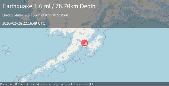
A 1.6 magnitude earthquake struck on 53 km WNW of Karluk, Alaska, at Sat, 28 Feb 2026 22:16:49 GMT. Depth: 76.7km. Reviewed by USGS seismologists, this minor quake occurred at a magnitude type of ml.
Magnitude
1.6
ml
Source
USGS
Intensity
-
Agency Reports
1 Sources| Source | Magnitude | Depth | Time |
|---|---|---|---|
| USGSPrimary | 1.6 | 77 km | 1 hour ago |
Earthquake Details
AutomaticEvent IDusgs_aka2026eeelal
Tsunami PotentialNo
Magnitude Typeml
Nearest Places
- 6.9 km
- 12.3 km
- 12.7 km
- 13.5 km
- 13.8 km
Comments
Join the discussion about this event.
Latest Earthquakes
1.1Mag
Tarapaca, Chile
Time1 hour ago
Depth31.01 km
SourceVYT (Automatic)
1.1Mag
8 km SSW of Idyllwild, CA
Time1 hour ago
Depth15.61 km
SourceUSGS (Automatic)
2.4Mag
Region Metropolitana, Chile
Time1 hour ago
Depth105.22 km
SourceVYT (Automatic)
3.0Mag
Bali Sea
Time1 hour ago
Depth74.46 km
SourceVYT (Automatic)
1.8Mag
Tarapaca, Chile
Time1 hour ago
Depth32.47 km
SourceVYT (Automatic)
Nearby Earthquakes
1.9Mag
53 km W of Karluk, Alaska
Time2 weeks ago
Depth1.20 km
SourceUSGS (Automatic)
2.4Mag
ALASKA PENINSULA
Time3 months ago
Depth8.00 km
SourceNEIC (Automatic)
1.7Mag
54 km W of Karluk, Alaska
Time4 days ago
Depth19.00 km
SourceUSGS (Automatic)
2.5Mag
ALASKA PENINSULA
Time1 month ago
Depth75.90 km
SourceNEIC (Automatic)
2.4Mag
Alaska Peninsula
Time1 week ago
Depth162.72 km
SourceVYT (Automatic)