Earthquake 53 km W of Karluk, Alaska
Sun, 08 Feb 2026 21:28:50 GMT
Time2 hours ago
Location
57.6370, -155.3470
Depth
1.2 KM
Event Summary
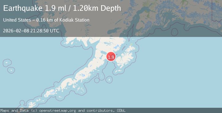
A 1.9 magnitude earthquake struck on 53 km W of Karluk, Alaska, at Sun, 08 Feb 2026 21:28:50 GMT. Depth: 1.2km. Reviewed by USGS seismologists, this minor quake occurred at a magnitude type of ml.
Magnitude
1.9
ml
Source
USGS
Intensity
-
Agency Reports
1 Sources| Source | Magnitude | Depth | Time |
|---|---|---|---|
| USGSPrimary | 1.9 | 1 km | 2 hours ago |
Earthquake Details
AutomaticEvent IDusgs_ak2026ctkibk
Tsunami PotentialNo
Magnitude Typeml
Nearest Places
- Cape Kekurnoi10.3 km
- Cape Aklek14.7 km
- Puale Bay15.0 km
- Helen Creek15.5 km
- Moose Creek15.5 km
Comments
Join the discussion about this event.
Latest Earthquakes
2.1Mag
Minahassa Peninsula, Sulawesi
Time2 minutes ago
Depth7.09 km
SourceBMKG (Automatic)
0.3Mag
14 km SW of Searles Valley, CA
Time5 minutes ago
Depth6.31 km
SourceUSGS (Automatic)
3.2Mag
MINDORO, PHILIPPINES
Time12 minutes ago
Depth111.00 km
SourcePIVS (Automatic)
2.7Mag
CRETE, GREECE
Time15 minutes ago
Depth20.80 km
SourceNOA (Automatic)
1.5Mag
STRAIT OF GIBRALTAR
Time19 minutes ago
Depth0.00 km
SourceIGN (Automatic)
Nearby Earthquakes
1.5Mag
35 km W of Karluk, Alaska
Time7 hours ago
Depth5.00 km
SourceUSGS (Automatic)
2.1Mag
36 km W of Karluk, Alaska
Time1 week ago
Depth64.30 km
SourceUSGS (Automatic)
1.9Mag
62 km WSW of Karluk, Alaska
Time2 weeks ago
Depth59.00 km
SourceUSGS (Automatic)
1.4Mag
85 km WNW of Karluk, Alaska
Time2 weeks ago
Depth17.30 km
SourceUSGS (Automatic)
2.0Mag
20 km W of Karluk, Alaska
Time1 week ago
Depth68.00 km
SourceUSGS (Automatic)