Earthquake 89 km NNW of Aleneva, Alaska
Sun, 01 Mar 2026 14:04:23 GMT
Time20 hours ago
Location
58.7630, -153.6390
Depth
11.9 KM
Event Summary
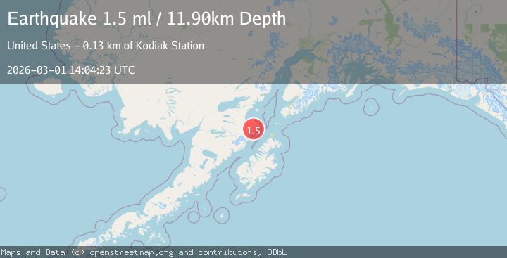
A 1.5 magnitude earthquake struck on 89 km NNW of Aleneva, Alaska, at Sun, 01 Mar 2026 14:04:23 GMT. Depth: 11.9km. Reviewed by USGS seismologists, this minor quake occurred at a magnitude type of ml.
Magnitude
1.5
ml
Source
USGS
Intensity
-
Agency Reports
1 Sources| Source | Magnitude | Depth | Time |
|---|---|---|---|
| USGSPrimary | 1.5 | 12 km | 20 hours ago |
Earthquake Details
AutomaticEvent IDusgs_aka2026efjvoq
Tsunami PotentialNo
Magnitude Typeml
Nearest Places
- 2.0 km
- 5.3 km
- 12.4 km
- 17.5 km
- 18.4 km
Comments
Join the discussion about this event.
Latest Earthquakes
2.3Mag
Coquimbo, Chile
Time16 hours ago
Depth109.62 km
SourceVYT (Automatic)
1.1Mag
2 km WNW of Cobb, CA
Time16 hours ago
Depth-0.14 km
SourceUSGS (Automatic)
1.8Mag
79 km NE of Tonopah, Nevada
Time16 hours ago
Depth8.12 km
SourceUSGS (Automatic)
2.6Mag
South of Bali, Indonesia
Time16 hours ago
Depth24.27 km
SourceBMKG
2.1Mag
NEVADA
Time16 hours ago
Depth11.70 km
SourceNN (Automatic)
Nearby Earthquakes
3.0Mag
KODIAK ISLAND REGION, ALASKA
Time6 years ago
Depth10.00 km
SourceNEIC (Automatic)
5.2Mag
KODIAK ISLAND REGION, ALASKA
Time16 years ago
Depth89.00 km
SourceEMSC (Automatic)
2.6Mag
Kodiak Island region, Alaska
Time3 days ago
Depth4.15 km
SourceVYT (Automatic)
1.6Mag
Kodiak Island region, Alaska
Time5 days ago
Depth87.04 km
SourceVYT (Automatic)
3.1Mag
Kodiak Island region, Alaska
Time1 week ago
Depth111.94 km
SourceVYT (Automatic)