Earthquake 120 km WNW of Yakutat, Alaska
Tue, 03 Mar 2026 13:45:44 GMT
Time1 hour ago
Location
59.8370, -141.7820
Depth
5.0 KM
Event Summary
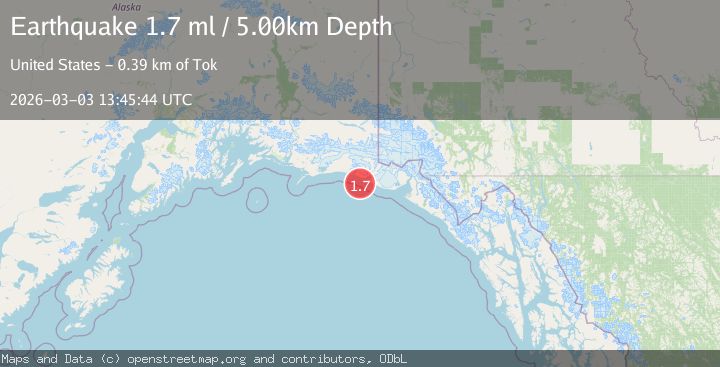
A 1.7 magnitude earthquake struck on 120 km WNW of Yakutat, Alaska, at Tue, 03 Mar 2026 13:45:44 GMT. Depth: 5km. Reviewed by USGS seismologists, this minor quake occurred at a magnitude type of ml.
Magnitude
1.7
ml
Source
USGS
Intensity
-
Agency Reports
1 Sources| Source | Magnitude | Depth | Time |
|---|---|---|---|
| USGSPrimary | 1.7 | 5 km | 1 hour ago |
Earthquake Details
AutomaticEvent IDusgs_aka2026ejardx
Tsunami PotentialNo
Magnitude Typeml
Nearest Places
- 13.2 km
- 13.4 km
- 13.9 km
- 14.6 km
- 15.0 km
Comments
Join the discussion about this event.
Latest Earthquakes
2.4Mag
Sumbawa region, Indonesia
Time1 hour ago
Depth0.00 km
SourceVYT (Automatic)
2.6Mag
WESTERN AUSTRALIA
Time1 hour ago
Depth5.00 km
SourceAUST (Automatic)
3.4Mag
MANIPUR, INDIA REGION
Time1 hour ago
Depth32.00 km
SourceNDI (Automatic)
2.3Mag
CENTRAL CALIFORNIA
Time1 hour ago
Depth11.00 km
SourceNC (Automatic)
3.9Mag
NORTH ISLAND OF NEW ZEALAND
Time1 hour ago
Depth124.80 km
SourceGNS (Automatic)
Nearby Earthquakes
2.5Mag
SOUTHEASTERN ALASKA
Time2 months ago
Depth5.00 km
SourceNEIC (Automatic)
1.2Mag
Southeastern Alaska
Time1 week ago
Depth0.00 km
SourceVYT (Automatic)
2.7Mag
Southeastern Alaska
Time20 hours ago
Depth0.61 km
SourceVYT (Automatic)
2.0Mag
121 km WNW of Yakutat, Alaska
Time3 weeks ago
Depth16.20 km
SourceUSGS (Automatic)
5.0Mag
SOUTHEASTERN ALASKA
Time6 years ago
Depth10.00 km
SourceEMSC (Automatic)