Earthquake 121 km WNW of Yakutat, Alaska
Thu, 05 Feb 2026 01:53:51 GMT
Time4 hours ago
Location
59.9300, -141.7550
Depth
16.2 KM
Event Summary
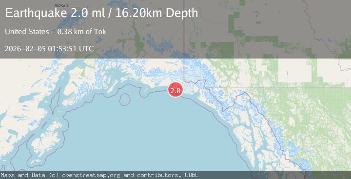
A 2.0 magnitude earthquake struck on 121 km WNW of Yakutat, Alaska, at Thu, 05 Feb 2026 01:53:51 GMT. Depth: 16.2km. Reviewed by USGS seismologists, this minor quake occurred at a magnitude type of ml.
Magnitude
2.0
ml
Source
USGS
Intensity
-
Agency Reports
1 Sources| Source | Magnitude | Depth | Time |
|---|---|---|---|
| USGSPrimary | 2.0 | 16 km | 4 hours ago |
Earthquake Details
AutomaticEvent IDusgs_ak2026cmkewv
Tsunami PotentialNo
Magnitude Typeml
Nearest Places
- Big River3.0 km
- Priest River3.0 km
- Guyot Bay4.3 km
- Icy Cape4.4 km
- Watson Creek6.2 km
Comments
Join the discussion about this event.
Latest Earthquakes
1.4Mag
11 km SSW of San Lucas, CA
Time4 hours ago
Depth7.19 km
SourceUSGS (Automatic)
2.5Mag
Near North Coast of West Papua
Time4 hours ago
Depth10.00 km
SourceBMKG (Automatic)
2.4Mag
13 km W of Kenai, Alaska
Time4 hours ago
Depth69.00 km
SourceUSGS (Automatic)
1.5Mag
6 km E of Warner Springs, CA
Time4 hours ago
Depth26.31 km
SourceUSGS (Automatic)
2.7Mag
ALBANIA
Time4 hours ago
Depth15.20 km
SourceNOA (Automatic)
Nearby Earthquakes
1.9Mag
110 km WNW of Yakutat, Alaska
Time22 hours ago
Depth5.00 km
SourceUSGS (Automatic)
2.1Mag
111 km WNW of Yakutat, Alaska
Time1 week ago
Depth8.00 km
SourceUSGS (Automatic)
3.5Mag
SOUTHERN ALASKA
Time6 days ago
Depth21.80 km
SourceAK (Automatic)
2.6Mag
96 km WNW of Yakutat, Alaska
Time2 weeks ago
Depth4.10 km
SourceUSGS (Automatic)
2.1Mag
107 km NW of Yakutat, Alaska
Time1 day ago
Depth12.00 km
SourceUSGS (Automatic)