Earthquake 90 km NNE of Yakutat, Alaska
Tue, 03 Mar 2026 18:31:26 GMT
Time1 hour ago
Location
60.3260, -139.2430
Depth
11.9 KM
Event Summary
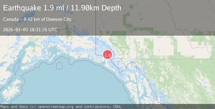
A 1.9 magnitude earthquake struck on 90 km NNE of Yakutat, Alaska, at Tue, 03 Mar 2026 18:31:26 GMT. Depth: 11.9km. Reviewed by USGS seismologists, this minor quake occurred at a magnitude type of ml.
Magnitude
1.9
ml
Source
USGS
Intensity
-
Agency Reports
1 Sources| Source | Magnitude | Depth | Time |
|---|---|---|---|
| USGSPrimary | 1.9 | 12 km | 1 hour ago |
Earthquake Details
AutomaticEvent IDusgs_aka2026ejkdle
Tsunami PotentialNo
Magnitude Typeml
Nearest Places
- 3.7 km
- 6.3 km
- 6.4 km
- 7.2 km
- 7.7 km
Comments
Join the discussion about this event.
Latest Earthquakes
2.8Mag
Tarapaca, Chile
Time3 minutes ago
Depth103.76 km
SourceVYT (Automatic)
2.4Mag
Timor Region
Time11 minutes ago
Depth55.32 km
SourceBMKG
2.7Mag
Timor Region
Time13 minutes ago
Depth10.00 km
SourceBMKG
1.9Mag
Nevada
Time14 minutes ago
Depth0.00 km
SourceVYT (Automatic)
2.1Mag
NEVADA
Time14 minutes ago
Depth4.40 km
SourceNN (Automatic)
Nearby Earthquakes
2.8Mag
SOUTHERN YUKON TERRITORY, CANADA
Time2 months ago
Depth5.00 km
SourceNEIC (Automatic)
1.8Mag
91 km NNE of Yakutat, Alaska
Time2 days ago
Depth0.00 km
SourceUSGS (Automatic)
7.0Mag
SOUTHERN YUKON TERRITORY, CANADA
Time2 months ago
Depth10.80 km
SourceEMSC (Automatic)
2.4Mag
SOUTHERN YUKON TERRITORY, CANADA
Time2 months ago
Depth5.00 km
SourceNEIC (Automatic)
1.8Mag
92 km NNE of Yakutat, Alaska
Time2 weeks ago
Depth1.10 km
SourceUSGS (Automatic)