Earthquake 48 km S of Tatitlek, Alaska
Thu, 05 Mar 2026 17:04:25 GMT
Time2 hours ago
Location
60.4390, -146.8360
Depth
30.9 KM
Event Summary
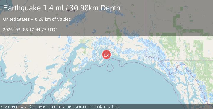
A 1.4 magnitude earthquake struck on 48 km S of Tatitlek, Alaska, at Thu, 05 Mar 2026 17:04:25 GMT. Depth: 30.9km. Reviewed by USGS seismologists, this minor quake occurred at a magnitude type of ml.
Magnitude
1.4
ml
Source
USGS
Intensity
-
Agency Reports
1 Sources| Source | Magnitude | Depth | Time |
|---|---|---|---|
| USGSPrimary | 1.4 | 31 km | 2 hours ago |
Earthquake Details
AutomaticEvent IDusgs_aka2026emysfo
Tsunami PotentialNo
Magnitude Typeml
Nearest Places
- 8.4 km
- 9.8 km
- 10.4 km
- 10.9 km
- 12.3 km
Comments
Join the discussion about this event.
Latest Earthquakes
1.5Mag
Southeastern Alaska
Time1 hour ago
Depth0.00 km
SourceVYT (Automatic)
2.1Mag
Southern Alaska
Time1 hour ago
Depth98.39 km
SourceVYT (Automatic)
3.3Mag
Western Australia
Time1 hour ago
Depth10.00 km
SourceVYT (Automatic)
2.7Mag
Antofagasta, Chile
Time2 hours ago
Depth122.07 km
SourceVYT (Automatic)
1.1Mag
6 km WNW of The Geysers, CA
Time2 hours ago
Depth3.45 km
SourceUSGS (Automatic)
Nearby Earthquakes
3.0Mag
SOUTHERN ALASKA
Time8 years ago
Depth9.00 km
SourceNEIR (Automatic)
3.0Mag
SOUTHERN ALASKA
Time2 years ago
Depth8.30 km
SourceAK (Automatic)
1.7Mag
Southern Alaska
Time3 weeks ago
Depth0.00 km
SourceVYT (Automatic)
1.7Mag
Southern Alaska
Time2 weeks ago
Depth2.44 km
SourceVYT (Automatic)
2.3Mag
57 km NE of Chenega, Alaska
Time0 months ago
Depth19.80 km
SourceUSGS (Automatic)