Earthquake Southern Alaska
Wed, 18 Feb 2026 03:32:40 GMT
Time7 hours ago
Location
60.3876, -147.3188
Depth
2.4 KM
Event Summary
A 1.7 magnitude earthquake struck on Southern Alaska, at Wed, 18 Feb 2026 03:32:40 GMT. Depth: 2.44140625km. Reviewed by VYT seismologists, this minor quake occurred at a magnitude type of earthquake.
Magnitude
1.7
earthquake
Source
VYT
Intensity
-
Agency Reports
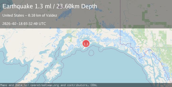
2 Sources| Source | Magnitude | Depth | Time |
|---|---|---|---|
| VYTPrimary | 1.7 | 2 km | 7 hours ago |
| USGS | 1.3 | 24 km | 7 hours ago |
Earthquake Details
AutomaticEvent IDvyt_a71874hbw6fr
Tsunami PotentialNo
Magnitude Typeearthquake
Nearest Places
- Applegate Rock5.4 km
- Applegate Shoals Light5.4 km
- Mountain Point6.3 km
- Seal Island6.8 km
- Seal Island Light7.1 km
Comments
Join the discussion about this event.
Latest Earthquakes
2.0Mag
Seram, Indonesia
Time6 hours ago
Depth68.21 km
SourceBMKG
3.5Mag
near the coast of Antofagasta, Chile
Time6 hours ago
Depth0.00 km
SourceVYT (Automatic)
1.7Mag
Southern California
Time6 hours ago
Depth0.00 km
SourceVYT (Automatic)
3.1Mag
northern Norway
Time6 hours ago
Depth707.40 km
SourceVYT (Automatic)
2.2Mag
DODECANESE IS.-TURKEY BORDER REG
Time6 hours ago
Depth46.60 km
SourceKOERI (Automatic)
Nearby Earthquakes
3.0Mag
SOUTHERN ALASKA
Time8 years ago
Depth10.00 km
SourceNEIR (Automatic)
2.3Mag
57 km NE of Chenega, Alaska
Time1 week ago
Depth19.80 km
SourceUSGS (Automatic)
2.9Mag
Southern Alaska
Time4 days ago
Depth17.70 km
SourceVYT (Automatic)
1.8Mag
56 km NE of Chenega, Alaska
Time3 weeks ago
Depth20.90 km
SourceUSGS (Automatic)
3.0Mag
SOUTHERN ALASKA
Time8 years ago
Depth9.00 km
SourceNEIR (Automatic)