Earthquake 80 km NW of Karluk, Alaska
Mon, 13 Apr 2026 14:19:46 GMT
Time2 weeks ago
Location
58.1410, -155.2920
Depth
5.0 KM
Event Summary
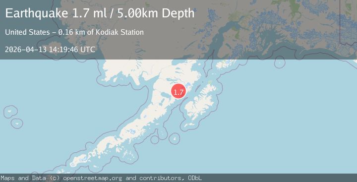
A 1.7 magnitude earthquake struck on 80 km NW of Karluk, Alaska, at Mon, 13 Apr 2026 14:19:46 GMT. Depth: 5km. Reviewed by USGS seismologists, this minor quake occurred at a magnitude type of ml.
Magnitude
1.7
ml
Source
USGS
Intensity
-
Agency Reports
1 Sources| Source | Magnitude | Depth | Time |
|---|---|---|---|
| USGSPrimary | 1.7 | 5 km | 2 weeks ago |
Earthquake Details
AutomaticEvent IDusgs_aka2026hgioqu
QualityS
Tsunami PotentialNo
Magnitude Typeml
Last Update2 weeks ago
Used Stations21
Felt Reports0
Did you feel this earthquake? Report it to help others.
No reports yet
Be the first to report this earthquake!
Latest Earthquakes
Loading...
Nearby Earthquakes
0.5Mag
79 km NNW of Karluk, Alaska
Time2 hours ago
Depth5.10 km
SourceUSGS (Automatic)
2.5Mag
24 km WSW of Karluk, Alaska
Time12 hours ago
Depth21.70 km
SourceUSGS (Automatic)
1.5Mag
88 km E of Ugashik, Alaska
Time22 hours ago
Depth12.80 km
SourceUSGS (Automatic)
4.8Mag
Kodiak Island region, Alaska
Time23 hours ago
Depth4.52 km
SourceVYT (Automatic)
0.7Mag
85 km NNW of Karluk, Alaska
Time1 day ago
Depth5.00 km
SourceUSGS (Automatic)